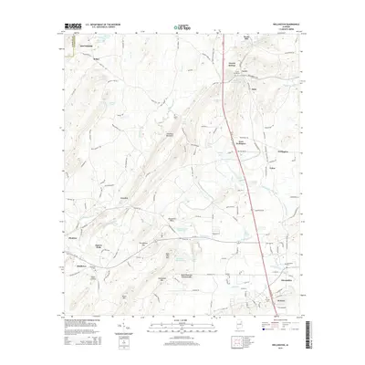
2014 Map of Wellington
USGS Topo · Published 2014About this map
Ohatchee Creek and Tallasseahatchee Creek carve through the landscape of the Ohatchee Mountains, defining the early settlement patterns of eastern Alabama. This 2014 representation of the area around Wellington and Alexandria reveals a network of rural communities connected by historic routes like Greensport Rd and Peeks Hill Rd. Notable for its genealogical value, the map identifies numerous burial grounds including Crystal Springs Cem, Hebron Cem, and Mt Zion Cem, alongside the industrial history of Reads Mill on Ohatchee Cr. The terrain is marked by distinctive heights such as Rock Pile Mtn and Chalybeate Mtn, which separate the agricultural valleys from the more secluded hollows. Local landmarks like Lowrimores Crossroads and the Easterwood Br rail line illustrate the enduring infrastructure that has supported these communities for generations.
Find a feature on this map
137 named features on this map. Tap any name to fly to it.
Don’t see what you’re looking for? This feature index may not catch every label — zoom into the map to look around manually.
Map Details
Editions of this 2014 Wellington Map
This is the sole edition of this map. No revisions or reprints were ever made.
Other maps of this area

1889 · Springville
USGS Topo · 1:125,000

1892 · Springville
USGS Topo · 1:125,000

1900 · Anniston
USGS Topo · 1:125,000

1947 · Anniston
USGS Topo · 1:24,000

1947 · Dunaway Mountain
USGS Topo · 1:24,000

1947 · Ragland
USGS Topo · 1:62,500

1947 · Colvin Gap
USGS Topo · 1:24,000

1947 · Jacksonville
USGS Topo · 1:24,000

1947 · Glencoe
USGS Topo · 1:24,000

1947 · Wellington
USGS Topo · 1:24,000