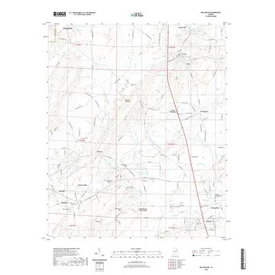
2020 Map of Wellington
USGS Topo · Published 2020About this map
The Alexandria Valley forms a significant corridor through this region of Alabama, bordered by the Ohatchee Mountains and Rock Pile Mtn. This 2020 survey records a landscape where rural settlements and crossroad hamlets like Lowrimores Crossroads and Point Calhoun still define the local geography. Water resources are plentiful, with the Tallasseehatchee Creek and Ohatchee Creek winding through the lowlands, supporting numerous named springs and reservoirs such as Crystal Springs Lake and McCullars Lake Number 1. For genealogists, the map is a dense resource of family and community history, preserving the locations of numerous burial grounds including Hebron Cem, Middleton Cem, and the Alexandria United Methodist Church Cem. The layout of transportation routes like Old Anniston Gadsden Hwy and the proximity of communities like Wellington and Alexandria reveal the enduring structure of these eastern Alabama communities.
Find a feature on this map
144 named features on this map. Tap any name to fly to it.
Don’t see what you’re looking for? This feature index may not catch every label — zoom into the map to look around manually.
Map Details
Editions of this 2020 Wellington Map
This is the sole edition of this map. No revisions or reprints were ever made.
Other maps of this area

1889 · Springville
USGS Topo · 1:125,000

1892 · Springville
USGS Topo · 1:125,000

1900 · Anniston
USGS Topo · 1:125,000

1947 · Anniston
USGS Topo · 1:24,000

1947 · Dunaway Mountain
USGS Topo · 1:24,000

1947 · Ragland
USGS Topo · 1:62,500

1947 · Colvin Gap
USGS Topo · 1:24,000

1947 · Jacksonville
USGS Topo · 1:24,000

1947 · Glencoe
USGS Topo · 1:24,000

1947 · Wellington
USGS Topo · 1:24,000