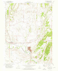
1972 Map of Wellington
USGS Topo · Published 1976About this map
Wellington serves as the focal point of this Carbon County landscape, situated along the Price River and the Denver and Rio Grande Western railroad. The 1970s infrastructure reflects the essential connection between water management and local industry, with the Wellington Canal and various pipelines crisscrossing the terrain. Industrial footprints are evident in the Tailings and Gravel Pit locations, while the local civic character is represented by the Rodeo Ground, Cem, and County Airport.
Find a feature on this map
22 named features on this map. Tap any name to fly to it.
Don’t see what you’re looking for? This feature index may not catch every label — zoom into the map to look around manually.
Map Details
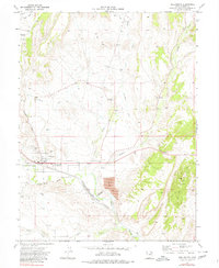
Editions of this 1972 Wellington Map
2 editions found
Other maps of this area

1886 · Price River
USGS Topo · 1:250,000

1896 · Price River
USGS Topo · 1:250,000

1914 · Castle Gate
USGS Topo · 1:62,500

1915 · Wellington
USGS Topo · 1:62,500

1916 · Castle Gate
USGS Topo · 1:62,500

1956 · Price
USGS Topo · 1:250,000

1960 · Price
USGS Topo · 1:250,000

1962 · Price
USGS Topo · 1:250,000

1969 · Olsen Reservoir
USGS Topo · 1:24,000

1969 · Elmo
USGS Topo · 1:24,000