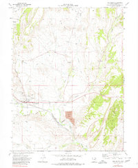
1972 Map of Wellington
USGS Topo · Published 1980About this map
Wellington serves as the central hub of this Carbon County landscape, situated at the intersection of critical industrial and agricultural infrastructure in the early 1970s. The town's layout is defined by its proximity to the Denver and Rio Grande Western railroad and the Price River, which winds through the southern portion of the quadrangle. The agricultural character of the area is evidenced by the extensive Wellington Canal system, while the heavy industrial footprint of the Utah coal and mineral region is visible through features like the Tailings Pond, Gas Well, and various Gravel Pits. Local civic life is marked by the Rodeo Ground, a Cem west of the main settlement, and the County Airport located in the northwest corner near Hayes Wash.
Find a feature on this map
26 named features on this map. Tap any name to fly to it.
Don’t see what you’re looking for? This feature index may not catch every label — zoom into the map to look around manually.
Map Details
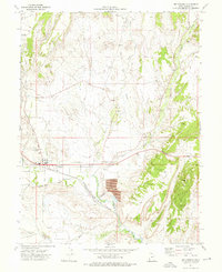
Editions of this 1972 Wellington Map
2 editions found
Other maps of this area

1886 · Price River
USGS Topo · 1:250,000

1896 · Price River
USGS Topo · 1:250,000

1914 · Castle Gate
USGS Topo · 1:62,500

1915 · Wellington
USGS Topo · 1:62,500

1916 · Castle Gate
USGS Topo · 1:62,500

1956 · Price
USGS Topo · 1:250,000

1960 · Price
USGS Topo · 1:250,000

1962 · Price
USGS Topo · 1:250,000

1969 · Olsen Reservoir
USGS Topo · 1:24,000

1969 · Elmo
USGS Topo · 1:24,000