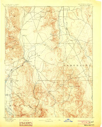
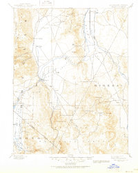
1893 Map of Wellington
USGS Topo · Published 1903About this map
Smith Valley and the surrounding high basins of the Eastern Sierra front are mapped here during a period of transition in the early 1890s. The settlement of Wellington serves as a primary hub where the West Walker River enters the valley floor. Agriculture and ranching patterns are evident in locations like The Colony and Hinds Hot Springs, while higher elevations indicate a persistent mining economy.
Find a feature on this map
45 named features on this map. Tap any name to fly to it.
Don’t see what you’re looking for? This feature index may not catch every label — zoom into the map to look around manually.
Map Details
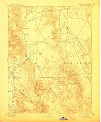
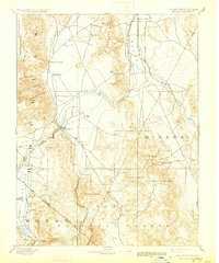
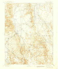
Editions of this 1893 Wellington Map
6 editions found
Other maps of this area

1889 · Markleeville
USGS Topo · 1:125,000

1891 · Carson
USGS Topo · 1:125,000

1891 · Markleeville
USGS Topo · 1:125,000

1891 · Wabuska
USGS Topo · 1:125,000

1891 · Wellington
USGS Topo · 1:125,000

1893 · Carson
USGS Topo · 1:125,000

1893 · Markleeville
USGS Topo · 1:125,000

1893 · Wellington
USGS Topo · 1:125,000

1894 · Wabuska
USGS Topo · 1:125,000

1896 · Dardanelles
USGS Topo · 1:125,000