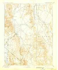
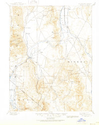
1893 Map of Wellington
USGS Topo · Published 1931About this map
Smith Valley and Mason Valley form the agricultural and ranching heart of this high-desert region during the late 19th century, oriented around the diverging branches of the Walker River. The settlement of Wellington serves as a central hub where the West Walker River enters the valley floor from the southern mountains. To the north, industrial activity is marked by the Ludwig Mine in the Singatze Range, while high-altitude outposts like Pine Grove and Rockland are found in the eastern mining districts near Mount Etna.
Find a feature on this map
41 named features on this map. Tap any name to fly to it.
Don’t see what you’re looking for? This feature index may not catch every label — zoom into the map to look around manually.
Map Details
Editions of this 1893 Wellington Map
6 editions found
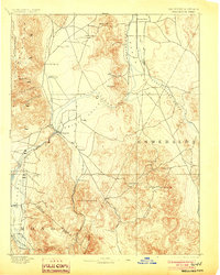
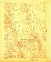
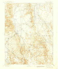
Other maps of this area

1889 · Markleeville
USGS Topo · 1:125,000

1891 · Carson
USGS Topo · 1:125,000

1891 · Markleeville
USGS Topo · 1:125,000

1891 · Wabuska
USGS Topo · 1:125,000

1891 · Wellington
USGS Topo · 1:125,000

1893 · Carson
USGS Topo · 1:125,000

1893 · Markleeville
USGS Topo · 1:125,000

1893 · Wellington
USGS Topo · 1:125,000

1894 · Wabuska
USGS Topo · 1:125,000

1896 · Dardanelles
USGS Topo · 1:125,000