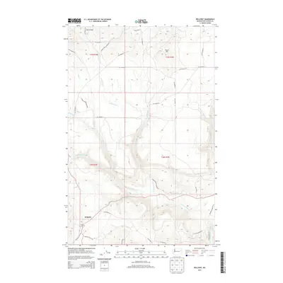
2014 Map of Wellpinit
USGS Topo · Published 2014About this map
Spokane Indian Reservation lands dominate this study of the terrain around Wellpinit, providing a detailed look at the tribal headquarters and surrounding topography in the early twenty-first century. The settlement of Wellpinit serves as the primary hub, where the Wellpinit Cutoff Rd and Sherwood Loop Rd converge near the Chief Lot Cem. This cemetery offers a significant point of interest for genealogists and local historians tracing families within the reservation.
Find a feature on this map
37 named features on this map. Tap any name to fly to it.
Don’t see what you’re looking for? This feature index may not catch every label — zoom into the map to look around manually.
Map Details
Editions of this 2014 Wellpinit Map
This is the sole edition of this map. No revisions or reprints were ever made.
Other maps of this area

1927 · Chewelah
USGS Topo · 1:125,000

1930 · Chewelah
USGS Topo · 1:125,000

1944 · Wellpinit
USGS Topo · 1:62,500

1948 · Hunters
USGS Topo · 1:62,500

1948 · Turtle Lake
USGS Topo · 1:62,500

1950 · Turtle Lake
USGS Topo · 1:62,500

1950 · Hunters
USGS Topo · 1:62,500

1953 · Wellpinit
USGS Topo · 1:62,500

1953 · Ritzville
USGS Topo · 1:250,000

1954 · Okanogan
USGS Topo · 1:250,000