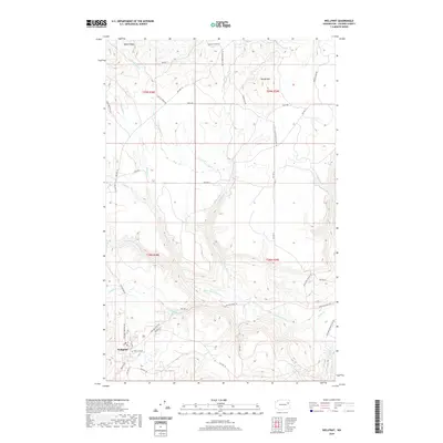
2020 Map of Wellpinit
USGS Topo · Published 2020About this map
Wellpinit serves as a central hub on this Stevens County plateau, where a complex network of Bureau of Indian Affairs routes like BIA Hwy 3 and BIA Hwy 24 navigate the drainage basins of the Little Chamokane Creek. The settlement pattern is defined by these road corridors and their proximity to local water sources, including the historic Chief Lot Cemetery located just outside the main town site.
Find a feature on this map
41 named features on this map. Tap any name to fly to it.
Don’t see what you’re looking for? This feature index may not catch every label — zoom into the map to look around manually.
Map Details
Editions of this 2020 Wellpinit Map
This is the sole edition of this map. No revisions or reprints were ever made.
Other maps of this area

1927 · Chewelah
USGS Topo · 1:125,000

1930 · Chewelah
USGS Topo · 1:125,000

1944 · Wellpinit
USGS Topo · 1:62,500

1948 · Hunters
USGS Topo · 1:62,500

1948 · Turtle Lake
USGS Topo · 1:62,500

1950 · Turtle Lake
USGS Topo · 1:62,500

1950 · Hunters
USGS Topo · 1:62,500

1953 · Wellpinit
USGS Topo · 1:62,500

1953 · Ritzville
USGS Topo · 1:250,000

1954 · Okanogan
USGS Topo · 1:250,000