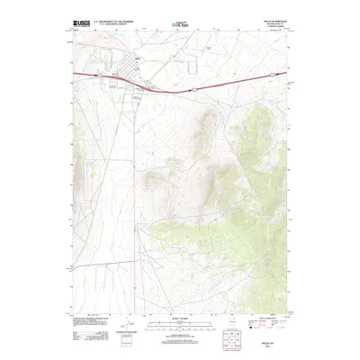
2012 Map of Wells
USGS Topo · Published 2012About this map
Wells serves as a critical high-desert transit hub in Elko County, where the upper reaches of the Humboldt River meet a complex intersection of regional travel routes. By the early 2010s, the town's infrastructure was defined by several key interchanges, including the West Wells Interchange and the US93/East Wells Interchange, which facilitate movement between local streets like Angel Lake RD and the broader basin-and-range landscape.
Find a feature on this map
27 named features on this map. Tap any name to fly to it.
Don’t see what you’re looking for? This feature index may not catch every label — zoom into the map to look around manually.
Map Details
Editions of this 2012 Wells Map
This is the sole edition of this map. No revisions or reprints were ever made.
Other maps of this area

1935 · Halleck
USGS Topo · 1:125,000

1955 · Wells
USGS Topo · 1:250,000

1955 · Elko
USGS Topo · 1:250,000

1958 · Wells
USGS Topo · 1:250,000

1958 · Elko
USGS Topo · 1:250,000

1961 · Wells
USGS Topo · 1:250,000

1962 · Elko
USGS Topo · 1:250,000

1965 · Elko
USGS Topo · 1:250,000

1967 · Welcome
USGS Topo · 1:24,000

1967 · Metropolis
USGS Topo · 1:24,000