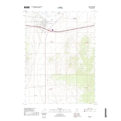
2018 Map of Wells
USGS Topo · Published 2018About this map
Wells serves as a vital Nevada crossroads where the high desert meets the northern reach of the Wood Hills. This 2018 survey documents the city's modern layout, centered around the junction of major transit corridors and the historic Cobre rail line. The landscape is defined by the headwaters of the Humboldt River and the nearby Humboldt Wells, which have historically provided essential water in this arid basin. To the north, Town Creek Flat spreads across the valley floor, while the Wells Municipal Airport/Harriet Field marks the northeastern edge of the settlement.
Find a feature on this map
40 named features on this map. Tap any name to fly to it.
Don’t see what you’re looking for? This feature index may not catch every label — zoom into the map to look around manually.
Map Details
Editions of this 2018 Wells Map
This is the sole edition of this map. No revisions or reprints were ever made.
Other maps of this area

1935 · Halleck
USGS Topo · 1:125,000

1955 · Wells
USGS Topo · 1:250,000

1955 · Elko
USGS Topo · 1:250,000

1958 · Wells
USGS Topo · 1:250,000

1958 · Elko
USGS Topo · 1:250,000

1961 · Wells
USGS Topo · 1:250,000

1962 · Elko
USGS Topo · 1:250,000

1965 · Elko
USGS Topo · 1:250,000

1967 · Welcome
USGS Topo · 1:24,000

1967 · Metropolis
USGS Topo · 1:24,000