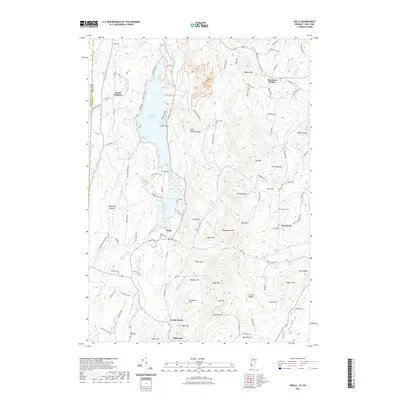
2021 Map of Wells
USGS Topo · Published 2021About this map
Lake Saint Catherine dominates the northern landscape of this Vermont-New York border region, centered around the village of Wells. The topography is defined by significant elevations like Saint Catherine Mtn and Pond Mtn, which frame the narrow valley floor where settlements like South Poultney and North Pawlet are established. This 2021 survey illustrates a well-preserved distribution of rural heritage sites, including East Wells Cem, Blossom Cem, and Stiles Cem, which offer significant value for genealogical research.
Find a feature on this map
108 named features on this map. Tap any name to fly to it.
Don’t see what you’re looking for? This feature index may not catch every label — zoom into the map to look around manually.
Map Details
Editions of this 2021 Wells Map
This is the sole edition of this map. No revisions or reprints were ever made.
Other maps of this area

1893 · Fort Ann
USGS Topo · 1:62,500

1893 · Whitehall
USGS Topo · 1:62,500

1894 · Pawlet
USGS Topo · 1:62,500

1895 · Whitehall
USGS Topo · 1:62,500

1895 · Fort Ann
USGS Topo · 1:62,500

1895 · Castleton
USGS Topo · 1:62,500

1897 · Pawlet
USGS Topo · 1:62,500

1897 · Castleton
USGS Topo · 1:62,500

1898 · Whitehall
USGS Topo · 1:62,500

1898 · Fort Ann
USGS Topo · 1:62,500