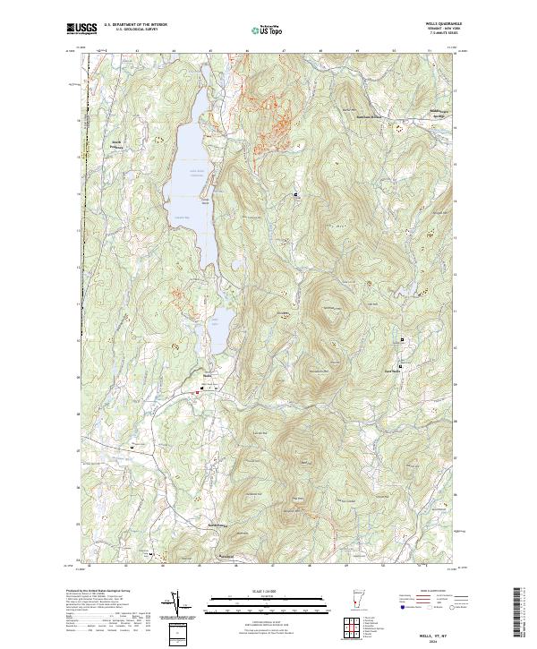
2024 Map of Wells
USGS Topo · Published 2024About this map
Lake Saint Catherine and the smaller Little Lake dominate the valley landscape, tucked between the steep ridges of Pond Mtn and Saint Catherine Mtn. The village of Wells serves as the central hub of this Vermont-New York border region, where the Wells Brook joins the Mettawee River. The area's agricultural and social history is marked by a high density of rural cemeteries, including Wells Town Cem, Blossom Cem, and the remote Stiles Cem situated high above the lake on the eastern slopes.
Find a feature on this map
112 named features on this map. Tap any name to fly to it.
Don’t see what you’re looking for? This feature index may not catch every label — zoom into the map to look around manually.
Map Details
Editions of this 2024 Wells Map
This is the sole edition of this map. No revisions or reprints were ever made.
Other maps of this area

1893 · Fort Ann
USGS Topo · 1:62,500

1893 · Whitehall
USGS Topo · 1:62,500

1894 · Pawlet
USGS Topo · 1:62,500

1895 · Whitehall
USGS Topo · 1:62,500

1895 · Fort Ann
USGS Topo · 1:62,500

1895 · Castleton
USGS Topo · 1:62,500

1897 · Pawlet
USGS Topo · 1:62,500

1897 · Castleton
USGS Topo · 1:62,500

1898 · Whitehall
USGS Topo · 1:62,500

1898 · Fort Ann
USGS Topo · 1:62,500