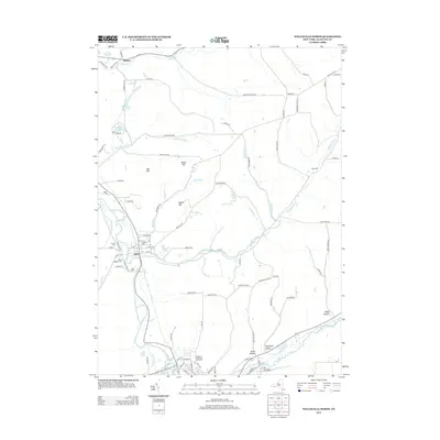
2013 Map of Wellsville North
USGS Topo · Published 2013About this map
The Genesee River valley anchors this area of Allegany County, where the river winds north through Scio and the surrounding highlands. The local landscape is defined by its deep hollows and prominent hills, including Oak Hill and Round Top, separated by an intricate network of tributaries like Vandermark Cr and Phillips Cr. Cultural history is well-preserved through several established burial grounds, such as Fairlawn Cem and Saint Joseph's Cem near the river, and the more remote Black Cem to the east.
Find a feature on this map
90 named features on this map. Tap any name to fly to it.
Don’t see what you’re looking for? This feature index may not catch every label — zoom into the map to look around manually.
Map Details
Editions of this 2013 Wellsville North Map
This is the sole edition of this map. No revisions or reprints were ever made.
Other maps of this area

1906 · Angelica
USGS Topo · 1:62,500

1916 · Canaseraga
USGS Topo · 1:62,500

1925 · Belmont
USGS Topo · 1:62,500

1926 · Wellsville
USGS Topo · 1:62,500

1939 · Belmont
USGS Topo · 1:62,500

1940 · Canaseraga
USGS Topo · 1:62,500

1941 · Angelica
USGS Topo · 1:62,500

1950 · Elmira
USGS Topo · 1:250,000

1958 · Elmira
USGS Topo · 1:250,000

1960 · Buffalo
USGS Topo · 1:250,000