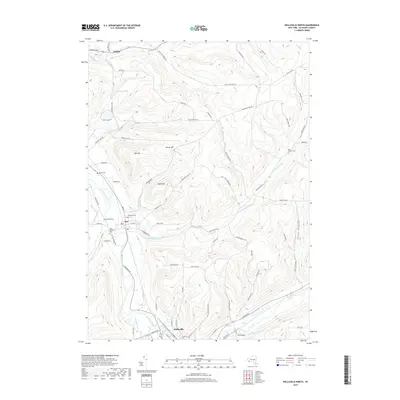
2019 Map of Wellsville North
USGS Topo · Published 2019About this map
The Genesee River cuts a prominent valley through this section of Allegany County, anchoring the settlements of Scio and the northern edge of Wellsville. This landscape is defined by its deep hollows and high points like Oak Hill and Bliven Hill, where numerous small tributaries such as Vandermark Creek and Knight Cr have carved the terrain. The map reveals a dense network of family-named landmarks and rural infrastructure, from Saunders Pond in the north to the winding course of Brimmer Brook in the south.
Find a feature on this map
84 named features on this map. Tap any name to fly to it.
Don’t see what you’re looking for? This feature index may not catch every label — zoom into the map to look around manually.
Map Details
Editions of this 2019 Wellsville North Map
This is the sole edition of this map. No revisions or reprints were ever made.
Other maps of this area

1906 · Angelica
USGS Topo · 1:62,500

1916 · Canaseraga
USGS Topo · 1:62,500

1925 · Belmont
USGS Topo · 1:62,500

1926 · Wellsville
USGS Topo · 1:62,500

1939 · Belmont
USGS Topo · 1:62,500

1940 · Canaseraga
USGS Topo · 1:62,500

1941 · Angelica
USGS Topo · 1:62,500

1950 · Elmira
USGS Topo · 1:250,000

1958 · Elmira
USGS Topo · 1:250,000

1960 · Buffalo
USGS Topo · 1:250,000