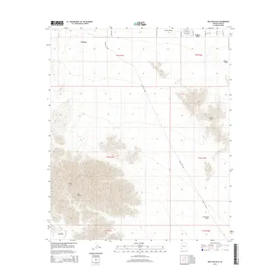
2014 Map of Wellton Hills
USGS Topo · Published 2014About this map
Wellton and the neighboring residential pocket of Wellton Hills occupy the northern reaches of this Yuma County landscape, where the irrigated agriculture of the Mohawk Valley meets the arid expanse of the Sonoran Desert. The most striking historical feature is the Camino Del Diablo, a path cutting diagonally across the quadrangle. This ancient route, known as the Road of the Devil, serves as a throughway for travelers navigating between the Gila Mountains and the wide, open Lechuguilla Desert. High points like Sheep Mtn provide dramatic elevation changes against the flat alluvial terrain of Davis Plain, illustrating the stark transition from valley floor to rocky peaks that has long defined the navigation of this corner of Arizona.
Find a feature on this map
26 named features on this map. Tap any name to fly to it.
Don’t see what you’re looking for? This feature index may not catch every label — zoom into the map to look around manually.
Map Details
Editions of this 2014 Wellton Hills Map
This is the sole edition of this map. No revisions or reprints were ever made.
Other maps of this area

1926 · Fortuna
USGS Topo · 1:62,500

1926 · Wellton
USGS Topo · 1:62,500

1929 · Fortuna
USGS Topo · 1:62,500

1929 · Wellton
USGS Topo · 1:62,500

1942 · Yuma
USGS Topo · 1:250,000

1954 · El Centro
USGS Topo · 1:250,000

1955 · El Centro
USGS Topo · 1:250,000

1958 · El Centro
USGS Topo · 1:250,000

1961 · El Centro
USGS Topo · 1:250,000

1964 · El Centro
USGS Topo · 1:250,000