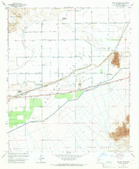
1965 Map of Wellton Mesa
USGS Topo · Published 1966About this map
The Gila River meanders through the northern desert landscape of the Mohawk Valley, defined in this mid-century period by a complex network of irrigation and transportation. The Wellton Mohawk Canal and Mohawk Canal parallel the Southern Pacific railroad, illustrating the intensive water management required for agriculture in the Wellton Mesa region. This survey captures a specific moment of infrastructure development, showing the Wellton Airport and the Wellton Landing Strip alongside localized points of interest like Antelope Union High Sch and the community of Noah.
Find a feature on this map
26 named features on this map. Tap any name to fly to it.
Don’t see what you’re looking for? This feature index may not catch every label — zoom into the map to look around manually.
Map Details
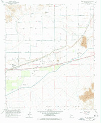
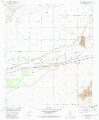
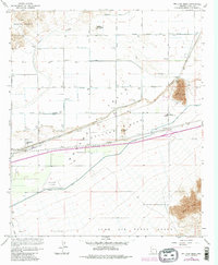
Editions of this 1965 Wellton Mesa Map
4 editions found
Other maps of this area

1926 · Wellton
USGS Topo · 1:62,500

1926 · Mohawk
USGS Topo · 1:62,500

1928 · Mohawk
USGS Topo · 1:62,500

1928 · Norton
USGS Topo · 1:62,500

1929 · Wellton
USGS Topo · 1:62,500

1929 · Norton
USGS Topo · 1:62,500

1942 · Yuma
USGS Topo · 1:250,000

1953 · Ajo
USGS Topo · 1:250,000

1954 · El Centro
USGS Topo · 1:250,000

1955 · El Centro
USGS Topo · 1:250,000