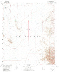
1965 Map of Wellton SE
USGS Topo · Published 1985About this map
The arid landscape of the Lechuguilla Desert and the Mohawk Valley dominates this mid-1960s survey, illustrating a region defined by its military use and topographical extremes. Much of the central territory is occupied by the Luke Air Force Range, a vast expanse of restricted land that overlays the local geography. The map captures the physical transition between the Wellton Hills and the Copper Mountains, where the elevation culminates at Coyote Peak.
Find a feature on this map
10 named features on this map. Tap any name to fly to it.
Don’t see what you’re looking for? This feature index may not catch every label — zoom into the map to look around manually.
Map Details
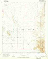
Editions of this 1965 Wellton SE Map
2 editions found
Other maps of this area

1926 · Wellton
USGS Topo · 1:62,500

1926 · Mohawk
USGS Topo · 1:62,500

1928 · Mohawk
USGS Topo · 1:62,500

1929 · Wellton
USGS Topo · 1:62,500

1942 · Yuma
USGS Topo · 1:250,000

1953 · Ajo
USGS Topo · 1:250,000

1954 · El Centro
USGS Topo · 1:250,000

1955 · El Centro
USGS Topo · 1:250,000

1957 · Ajo
USGS Topo · 1:250,000

1958 · Ajo
USGS Topo · 1:250,000