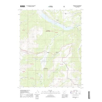
2019 Map of Weminuche Pass
USGS Topo · Published 2019About this map
The Rio Grande Reservoir and the headwaters of the Rio Grande define the northern landscape of this high-elevation quadrangle, where water management and wilderness recreation converge. Historically significant irrigation structures like the Raber Lohr Ditch and Fuchs Ditch navigate the complex terrain of Weminuche Pass, crossing the Continental Divide to move water across these mountain slopes. The map details a primitive network of routes, including the Skyline/Highline-Opal Lake path and the Continental Divide National Scenic Trail, which provide access to remote landmarks such as Simpson Mtn and Squaw Lake. Within the Rio Grande National Forest and San Juan National Forest, specific named locations like Stage Station Flat, Horse Thief Pasture, and Long Park suggest the legacy of early transit and grazing. Features like Snowslide Canyon and Grouse Rincon further document the character of the high country in the San Juan and Rio Grande drainages.
Find a feature on this map
41 named features on this map. Tap any name to fly to it.
Don’t see what you’re looking for? This feature index may not catch every label — zoom into the map to look around manually.
Map Details
Editions of this 2019 Weminuche Pass Map
This is the sole edition of this map. No revisions or reprints were ever made.
Other maps of this area

1905 · San Cristobal
USGS Topo · 1:125,000

1907 · San Cristobal
USGS Topo · 1:125,000

1945 · Durango
USGS Topo · 1:250,000

1953 · Durango
USGS Topo · 1:250,000

1954 · Durango
USGS Topo · 1:250,000

1959 · Bristol Head
USGS Topo · 1:62,500

1961 · Durango
USGS Topo · 1:250,000

1963 · Durango
USGS Topo · 1:250,000
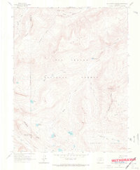
1964 · Rio Grande Pyramid
USGS Topo · 1:24,000
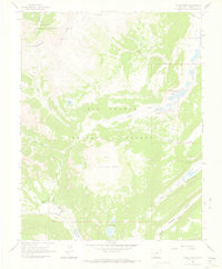
1964 · Finger Mesa
USGS Topo · 1:24,000