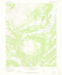
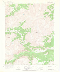
1964 Map of Finger Mesa
USGS Topo · Published 1967About this map
The Continental Divide defines the western heights of this landscape, separating the headwaters of the Rio Grande from the northern drainage of the Gunnison National Forest. Centered on the high-altitude plateau of Finger Mesa, the area shows a mid-century network of recreation and livestock management, with a Stock Driveway and numerous Pack Trails crossing the terrain.
Find a feature on this map
35 named features on this map. Tap any name to fly to it.
Don’t see what you’re looking for? This feature index may not catch every label — zoom into the map to look around manually.
Map Details
Editions of this 1964 Finger Mesa Map
3 editions found
Other maps of this area

1905 · San Cristobal
USGS Topo · 1:125,000

1907 · San Cristobal
USGS Topo · 1:125,000

1945 · Durango
USGS Topo · 1:250,000

1953 · Durango
USGS Topo · 1:250,000

1954 · Durango
USGS Topo · 1:250,000

1959 · Bristol Head
USGS Topo · 1:62,500

1961 · Durango
USGS Topo · 1:250,000

1963 · Durango
USGS Topo · 1:250,000
1964 · Rio Grande Pyramid
USGS Topo · 1:24,000
1964 · Redcloud Peak
USGS Topo · 1:24,000