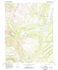
1964 Map of Finger Mesa
USGS Topo · Published 1995About this map
Continental Divide winds through the high-elevation landscape of Hinsdale County, defining the drainage patterns between the Gunnison and Rio Grande National Forests. This survey captures the upper reaches of the Rio Grande as it flows into the Rio Grande Reservoir and Continental Reservoir, illustrating the critical role of these high-basin catchments. Evidence of early land use and seasonal habitation is centered around the Lost Trail Ranch and Ski Hi Ranch in the southwestern quadrant, while a lone Mine in the northwest near Wager Gulch speaks to the region's mineral prospecting history. The terrain is dominated by Finger Mesa and a dense network of alpine water bodies, including the Hermit Lakes and Castle Rock Lake. Pack trails such as the West Lost Trail and Lost Trail provide the primary historical access through these steep basins, long before more modernized infrastructure reached the Weminuche Wilderness.
Find a feature on this map
36 named features on this map. Tap any name to fly to it.
Don’t see what you’re looking for? This feature index may not catch every label — zoom into the map to look around manually.
Map Details
Editions of this 1964 Finger Mesa Map
3 editions found
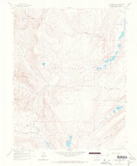
Other maps of this area

1905 · San Cristobal
USGS Topo · 1:125,000

1907 · San Cristobal
USGS Topo · 1:125,000

1945 · Durango
USGS Topo · 1:250,000

1953 · Durango
USGS Topo · 1:250,000

1954 · Durango
USGS Topo · 1:250,000

1959 · Bristol Head
USGS Topo · 1:62,500

1961 · Durango
USGS Topo · 1:250,000

1963 · Durango
USGS Topo · 1:250,000
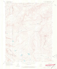
1964 · Rio Grande Pyramid
USGS Topo · 1:24,000
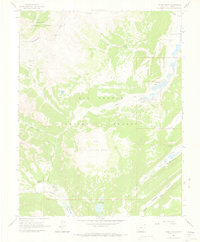
1964 · Finger Mesa
USGS Topo · 1:24,000