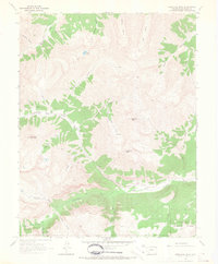
1964 Map of Redcloud Peak
USGS Topo · Published 1967About this map
Redcloud Peak and Sunshine Peak dominate the high-altitude landscape of Hinsdale County in this 1964 field-checked survey. The remote settlement of Sherman sits along the Lake Fork Gunnison River, serving as a landmark in a terrain defined by steep gulches and high-mountain hydrology. To the west, Whitecross Mountain rises above Burrows Park, where the headwaters of the Gunnison River begin their descent.
Find a feature on this map
35 named features on this map. Tap any name to fly to it.
Don’t see what you’re looking for? This feature index may not catch every label — zoom into the map to look around manually.
Map Details
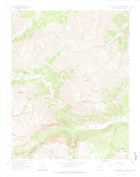
Editions of this 1964 Redcloud Peak Map
2 editions found
Other maps of this area

1897 · Silverton
USGS Topo · 1:62,500

1901 · Silverton
USGS Topo · 1:62,500

1902 · Silverton
USGS Topo · 1:62,500

1902 · Ouray
USGS Topo · 1:62,500

1903 · Lake City
USGS Topo · 1:62,500

1904 · Ouray
USGS Topo · 1:62,500

1905 · Lake City
USGS Topo · 1:62,500

1905 · San Cristobal
USGS Topo · 1:125,000

1907 · San Cristobal
USGS Topo · 1:125,000

1908 · Uncompahgre
USGS Topo · 1:125,000