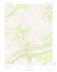
1964 Map of Redcloud Peak
USGS Topo · Published 1974About this map
Redcloud Peak and Sunshine Peak dominate this high-elevation corner of the San Juan Mountains in the mid-1960s. The landscape is defined by its mining history and steep drainages, where the Lake Fork Gunnison River carves through the southern portion of the sheet near the settlement of Sherman. Evidence of early mineral exploration remains visible through scattered Prospect labels and the presence of the USMM Burrows Park mineral monument.
Find a feature on this map
37 named features on this map. Tap any name to fly to it.
Don’t see what you’re looking for? This feature index may not catch every label — zoom into the map to look around manually.
Map Details
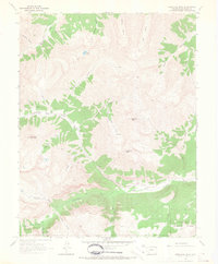
Editions of this 1964 Redcloud Peak Map
2 editions found
Other maps of this area

1897 · Silverton
USGS Topo · 1:62,500

1901 · Silverton
USGS Topo · 1:62,500

1902 · Silverton
USGS Topo · 1:62,500

1902 · Ouray
USGS Topo · 1:62,500

1903 · Lake City
USGS Topo · 1:62,500

1904 · Ouray
USGS Topo · 1:62,500

1905 · Lake City
USGS Topo · 1:62,500

1905 · San Cristobal
USGS Topo · 1:125,000

1907 · San Cristobal
USGS Topo · 1:125,000

1908 · Uncompahgre
USGS Topo · 1:125,000