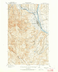
1913 Map of Wenatchee
USGS Topo · Published 1964About this map
Wenatchee and the surrounding river valleys are defined by an early twentieth-century network of irrigation canals and agriculture as seen in this 1913 survey. The High Line Ditch, Greek Ditch, and West Side Ditch trace the contours of the land, facilitating the growth of settlements like Sunnyslope and Wenatchee Heights. The Great Northern Railway hugs the western bank of the Columbia River, highlighting the corridor's importance for transportation and trade.
Find a feature on this map
55 named features on this map. Tap any name to fly to it.
Don’t see what you’re looking for? This feature index may not catch every label — zoom into the map to look around manually.
Map Details
Editions of this 1913 Wenatchee Map
This is the sole edition of this map. No revisions or reprints were ever made.
Other maps of this area
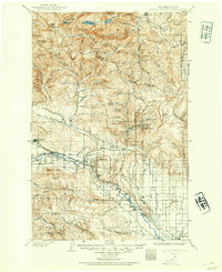
1897 · Mount Stuart
USGS Topo · 1:125,000
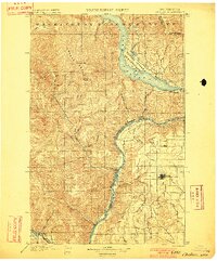
1901 · Chelan
USGS Topo · 1:125,000
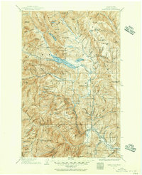
1901 · Chiwaukum
USGS Topo · 1:125,000
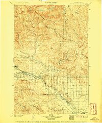
1902 · Mount Stuart
USGS Topo · 1:125,000
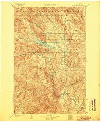
1904 · Chiwaukum
USGS Topo · 1:125,000
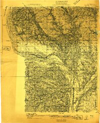
1912 · Malaga
USGS Topo · 1:48,000
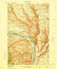
1914 · Malaga
USGS Topo · 1:62,500
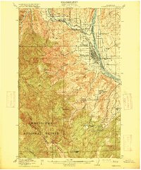
1915 · Wenatchee
USGS Topo · 1:62,500
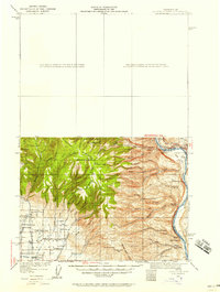
1920 · Colockum Pass
USGS Topo · 1:125,000
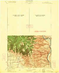
1922 · Colockum Pass
USGS Topo · 1:125,000