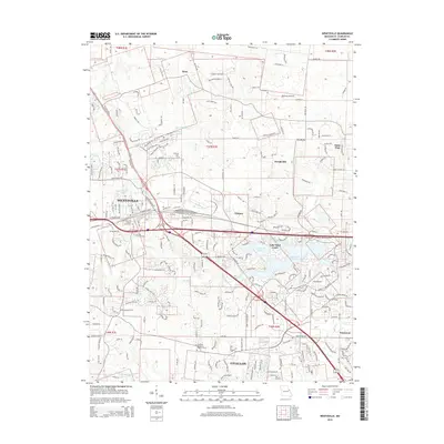
2015 Map of Wentzville
USGS Topo · Published 2015About this map
Peruque Creek and its many tributaries, including Silver Spring Creek and McCoy Creek, carve through this section of Saint Charles County as it appeared in the early 21st century. The landscape reveals a transition from the established center of Wentzville and the expanding borders of O'Fallon toward the quieter settlements of Josephville, Gilmore, and Enon. Significant local landmarks provide anchors for genealogical research, such as Saint Patrick Church and the nearby Cemetery, as well as Linn Cemetery and the Hopewell Missionary Baptist Church further south.
Find a feature on this map
197 named features on this map. Tap any name to fly to it.
Don’t see what you’re looking for? This feature index may not catch every label — zoom into the map to look around manually.
Map Details
Editions of this 2015 Wentzville Map
This is the sole edition of this map. No revisions or reprints were ever made.
Other maps of this area

1903 · O'Fallon
USGS Topo · 1:125,000

1931 · Brussels
USGS Topo · 1:62,500

1937 · Weldon Spring
USGS Topo · 1:24,000

1939 · Brussels
USGS Topo · 1:62,500

1940 · Weldon Spring
USGS Topo · 1:24,000

1941 · Troy
USGS Topo · 1:62,500

1943 · Brussels
USGS Topo · 1:62,500

1945 · Troy
USGS Topo · 1:62,500

1948 · Augusta
USGS Topo · 1:62,500

1949 · Saint Louis
USGS Topo · 1:250,000