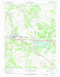
1972 Map of Wentzville
USGS Topo · Published 1973About this map
Wentzville stands as a significant rail and road hub in this 1970s survey, where the Norfolk and Western railway and major interstate travel intersect. The landscape is undergoing a notable transition, centered on the newly developed waters of Lake St Louis and Lake St Louise. While modern infrastructure like the Wentzville Airport and radio towers appear, the map preserves the rural roots of St. Charles County through its network of family-named roads like Josephville Road and Edinger Road.
Find a feature on this map
49 named features on this map. Tap any name to fly to it.
Don’t see what you’re looking for? This feature index may not catch every label — zoom into the map to look around manually.
Map Details
Editions of this 1972 Wentzville Map
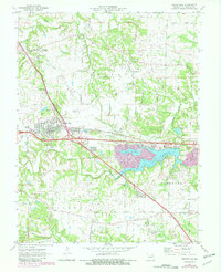
2 editions found
Other maps of this area

1903 · O'Fallon
USGS Topo · 1:125,000

1931 · Brussels
USGS Topo · 1:62,500

1937 · Weldon Spring
USGS Topo · 1:24,000

1939 · Brussels
USGS Topo · 1:62,500

1940 · Weldon Spring
USGS Topo · 1:24,000

1941 · Troy
USGS Topo · 1:62,500

1943 · Brussels
USGS Topo · 1:62,500

1945 · Troy
USGS Topo · 1:62,500

1948 · Augusta
USGS Topo · 1:62,500

1949 · Saint Louis
USGS Topo · 1:250,000