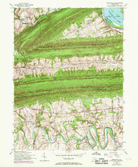
1952 Map of Wertzville
USGS Topo · Published 1969About this map
Blue Mountain and Cove Mountain dominate this central Pennsylvania landscape, creating a series of parallel ridges that define the travel and settlement patterns of the early 1950s. The Appalachian Trail follows the crest of Blue Mountain, crossing the county line between Perry and Cumberland counties at high-elevation gaps like Millers Gap and Lambs Gap. This survey reveals a landscape of ridge-top forests and valley floor farming, where the winding Conodoguinet Creek and Sherman Creek provided the necessary water for early industrial sites such as Hustons Mill.
Find a feature on this map
50 named features on this map. Tap any name to fly to it.
Don’t see what you’re looking for? This feature index may not catch every label — zoom into the map to look around manually.
Map Details
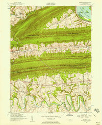
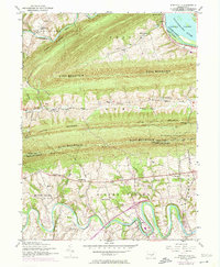
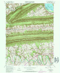
Editions of this 1952 Wertzville Map
4 editions found
Other maps of this area

1892 · Harrisburg
USGS Topo · 1:62,500

1899 · Harrisburg
USGS Topo · 1:62,500

1904 · Carlisle
USGS Topo · 1:62,500

1906 · New Cumberland
USGS Topo · 1:62,500

1907 · New Bloomfield
USGS Topo · 1:62,500

1924 · Harrisburg
USGS Topo · 1:62,500

1943 · New Cumberland
USGS Topo · 1:62,500

1943 · Harrisburg
USGS Topo · 1:62,500

1943 · New Bloomfield
USGS Topo · 1:62,500

1943 · Carlisle
USGS Topo · 1:62,500
Featured Places
- Middlesex Township, PA
- Penn Township, PA
- Dellville, Wheatfield Township
- Wertzville, Silver Spring Township
- Wheatfield Township, PA