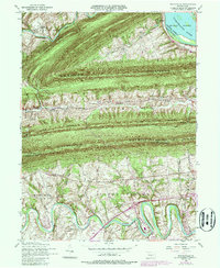
1952 Map of Wertzville
USGS Topo · Published 1987About this map
Parallel ridges of the Appalachian Mountains dominate this Pennsylvania landscape, with Blue Mountain and Cove Mountain creating a series of dramatic geographic barriers across the center of the sheet. Between these heights, narrow valleys support small rural communities and local landmarks like Sulphur Springs Church and the Oak Grove Cemetery. In the south, the winding course of Conodoguinet Creek meanders through more level terrain, passing near Hustons Mill and the recreation areas at Willow Mill Park.
Find a feature on this map
44 named features on this map. Tap any name to fly to it.
Don’t see what you’re looking for? This feature index may not catch every label — zoom into the map to look around manually.
Map Details
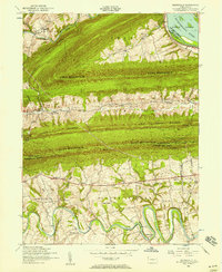
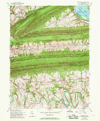
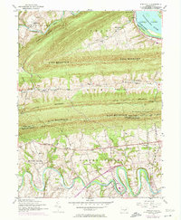
Editions of this 1952 Wertzville Map
4 editions found
Other maps of this area

1892 · Harrisburg
USGS Topo · 1:62,500

1899 · Harrisburg
USGS Topo · 1:62,500

1904 · Carlisle
USGS Topo · 1:62,500

1906 · New Cumberland
USGS Topo · 1:62,500

1907 · New Bloomfield
USGS Topo · 1:62,500

1924 · Harrisburg
USGS Topo · 1:62,500

1943 · New Cumberland
USGS Topo · 1:62,500

1943 · Harrisburg
USGS Topo · 1:62,500

1943 · New Bloomfield
USGS Topo · 1:62,500

1943 · Carlisle
USGS Topo · 1:62,500
Featured Places
- Middlesex Township, PA
- Penn Township, PA
- Dellville, Wheatfield Township
- Wertzville, Silver Spring Township
- Wheatfield Township, PA