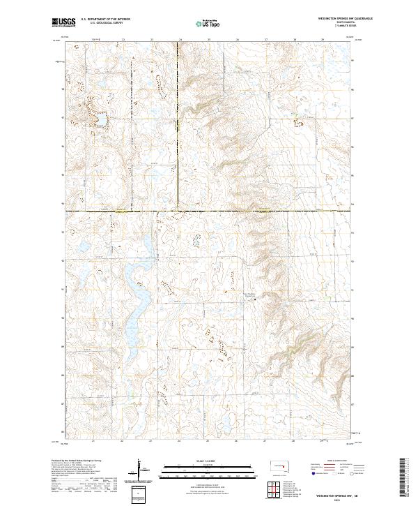
2021 Map of Wessington Springs NW
USGS Topo · Published 2021About this map
Chery Township Pioneer Cem serves as a silent landmark in this rural expanse of South Dakota, where the intersection of Jerauld, Hand, and Beadle counties forms a triple-border point. The landscape is defined by the high plains drainage patterns of Smith Cr and the waters of Long Lake, showing a region largely organized by the Public Land Survey System. The section lines are clearly marked by a rigorous grid of section-line roads, including 220th St and 375th Ave. This layout illustrates the late-stage development of the northern plains, where transportation and land ownership remain strictly bound to the township and range survey grid established during the homesteading era.
Find a feature on this map
28 named features on this map. Tap any name to fly to it.
Don’t see what you’re looking for? This feature index may not catch every label — zoom into the map to look around manually.
Map Details
Editions of this 2021 Wessington Springs NW Map
This is the sole edition of this map. No revisions or reprints were ever made.
Other maps of this area

1949 · Vayland SE
USGS Topo · 1:24,000

1951 · Wessington SE
USGS Topo · 1:24,000

1951 · Wessington SW
USGS Topo · 1:24,000

1951 · Vayland SE
USGS Topo · 1:24,000

1953 · Huron
USGS Topo · 1:250,000

1954 · Huron
USGS Topo · 1:250,000

1973 · Wessington Springs NE
USGS Topo · 1:24,000

1973 · Cottonwood Lake
USGS Topo · 1:24,000

1973 · Wessington Springs
USGS Topo · 1:24,000

1973 · Wessington Springs NW
USGS Topo · 1:24,000