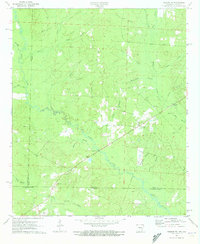
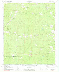
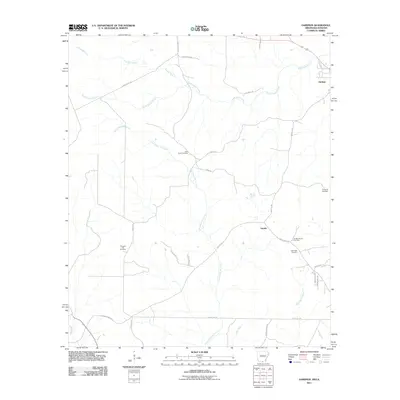
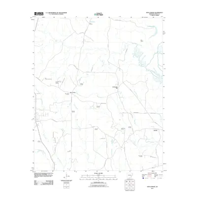
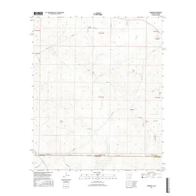
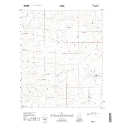
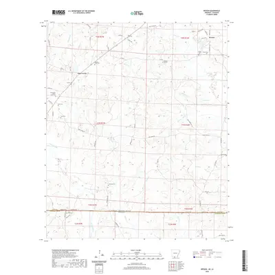
1971 Map of Wesson SW
USGS Topo · Published 1973About this map
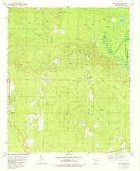
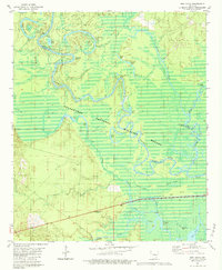
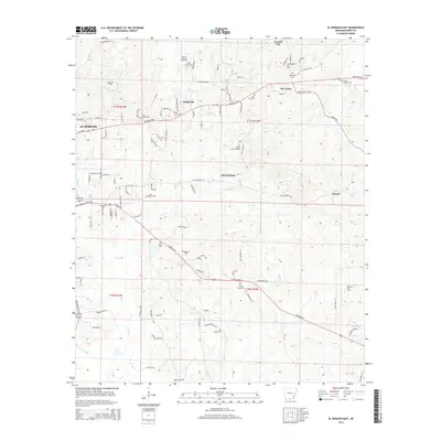
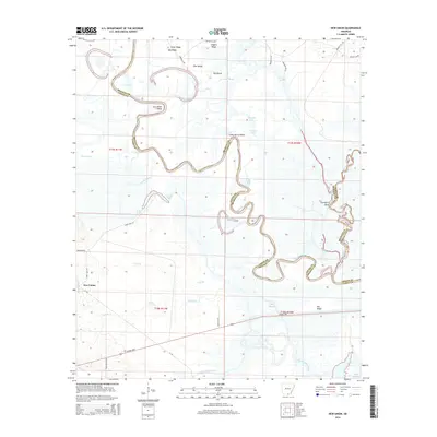
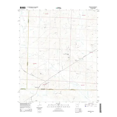
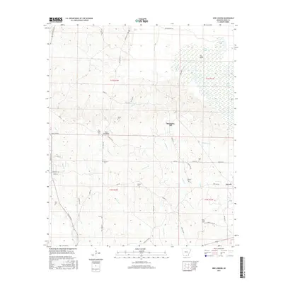
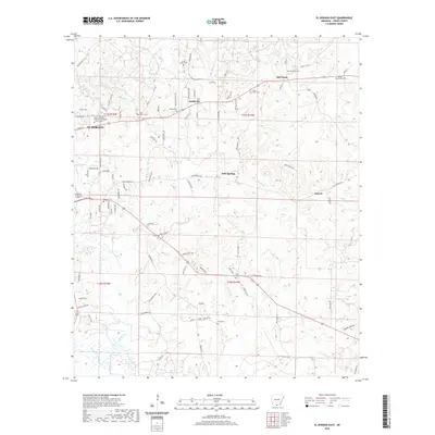
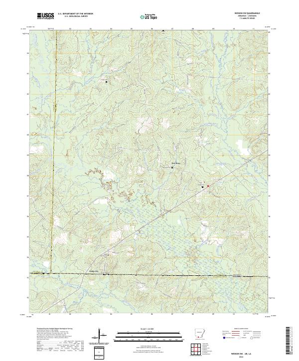
The lowlands of the Arkansas-Louisiana border are defined here by the winding course of Cornie Bayou and its southern counterpart, Corney Bayou. This 1971 survey captures a landscape transitioning between agricultural clearings and industrial extraction, evident in the numerous Oil Well and Drill Hole sites scattered throughout the western portion of the quadrangle. Small rural communities serve as focal points for local history, with New Hope and Dodge City anchored by established congregations such as Salem Ch, Trinity Chapel, and Union Ark Ch.
Find a feature on this map
38 named features on this map. Tap any name to fly to it.
Don’t see what you’re looking for? This feature index may not catch every label — zoom into the map to look around manually.
Map Details
Editions of this 1971 Wesson SW Map
This is the sole edition of this map. No revisions or reprints were ever made.
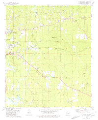
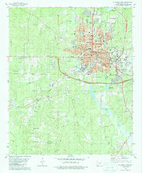
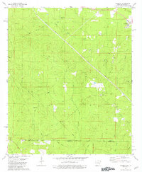
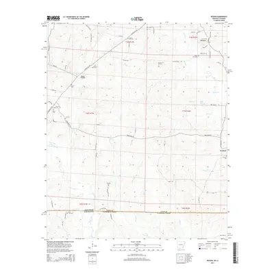
Historical Maps of New Hope Through Time
60 maps found
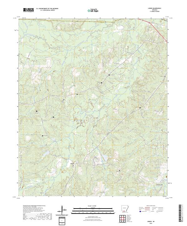
1962 Lisbon
Union County, AR
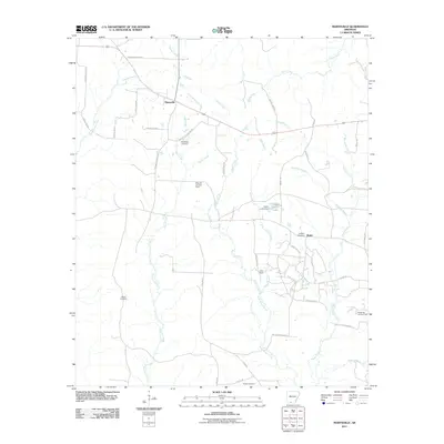
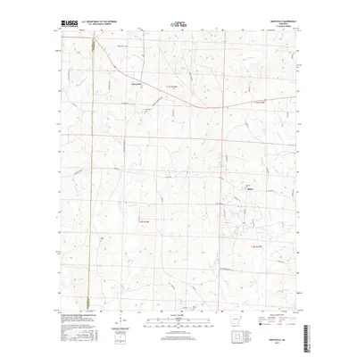
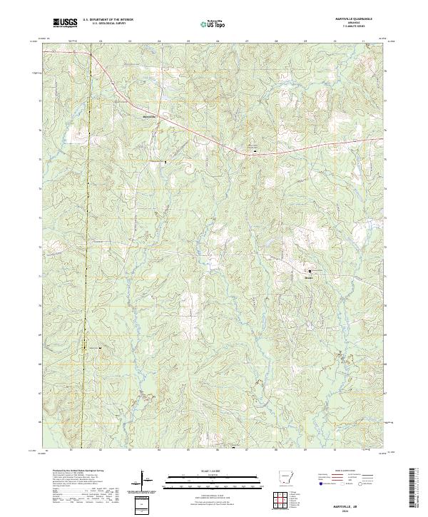
1971 Marysville
Union County, AR
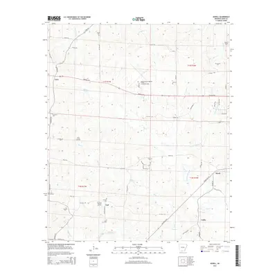
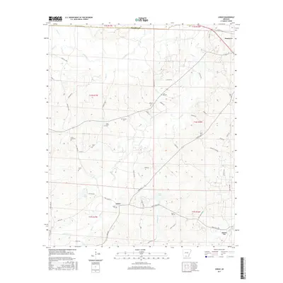
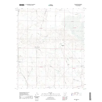
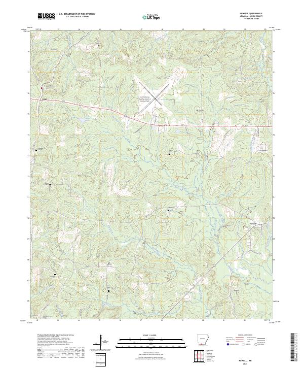
1971 Newell
Union County, AR
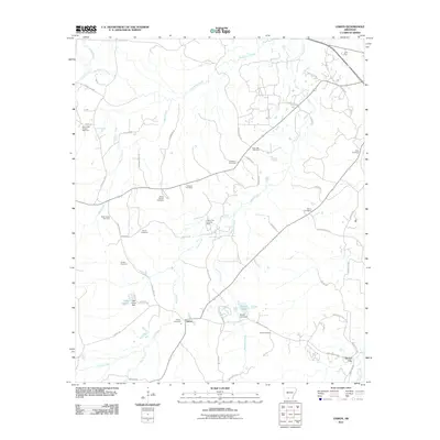
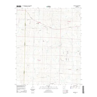
1971 Wesson SW
Union County, AR
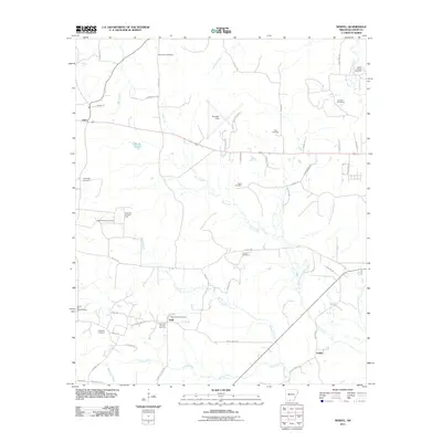
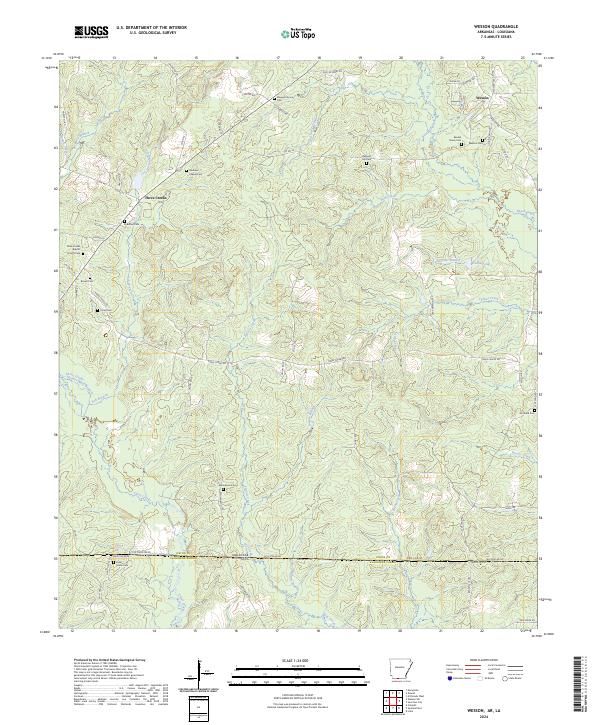
1971 Wesson
Union County, AR
1981 El Dorado East
Union County, AR
1981 El Dorado West
Union County, AR
1981 Gardner
Union County, AR
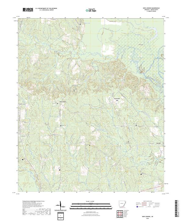
1981 New London
Union County, AR
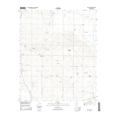
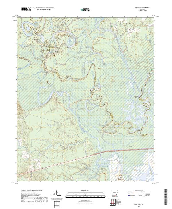
1981 New Union
Union County, AR
2011 El Dorado East
Union County, AR
2011 El Dorado West
Union County, AR
2011 Gardner
Union County, AR
2011 Lisbon
Union County, AR
2011 Marysville
Union County, AR
2011 Newell
Union County, AR
2011 New London
Union County, AR
2011 New Union
Union County, AR
2011 Wesson SW
Union County, AR
2011 Wesson
Union County, AR
2014 El Dorado East
Union County, AR
2014 El Dorado West
Union County, AR
2014 Gardner
Union County, AR
2014 Lisbon
Union County, AR
2014 Marysville
Union County, AR
2014 Newell
Union County, AR
2014 New London
Union County, AR
2014 New Union
Union County, AR
2014 Wesson SW
Union County, AR
2014 Wesson
Union County, AR
2017 El Dorado East
Union County, AR
2017 El Dorado West
Union County, AR
2017 Gardner
Union County, AR
2017 Lisbon
Union County, AR
2017 Marysville
Union County, AR
2017 Newell
Union County, AR
2017 New London
Union County, AR
2017 New Union
Union County, AR
2017 Wesson SW
Union County, AR
2017 Wesson
Union County, AR
2020 El Dorado East
Union County, AR
2020 El Dorado West
Union County, AR
2020 Gardner
Union County, AR

2020 Lisbon
Union County, AR
2020 Marysville
Union County, AR
2020 Newell
Union County, AR
2020 New London
Union County, AR
2020 New Union
Union County, AR
2020 Wesson SW
Union County, AR
2020 Wesson
Union County, AR
2024 El Dorado East
Union County, AR
2024 El Dorado West
Union County, AR
2024 Gardner
Union County, AR
2024 Lisbon
Union County, AR
2024 Marysville
Union County, AR
2024 Newell
Union County, AR
2024 New London
Union County, AR
2024 New Union
Union County, AR
2024 Wesson SW
Union County, AR
2024 Wesson
Union County, AR