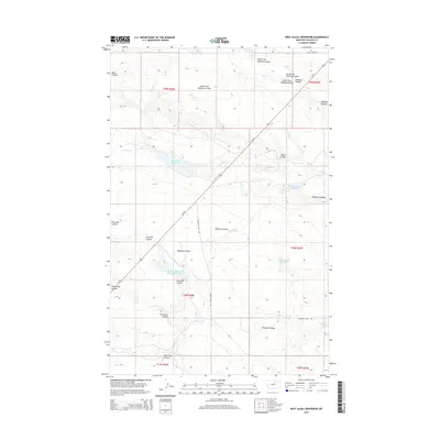
2014 Map of West Alkali Reservoir
USGS Topo · Published 2014About this map
Rudolph Valley and the surrounding high plains of Phillips County define this arid landscape, where water management is the primary driver of development. The land is marked by a network of drainage features like Threemile Coulee, Fourmile Coulee, and the larger Halfway Coulee system. These natural coulees are interspersed with man-made water storage, including the W Alkali Reservoir and the uniquely designated Reservoir Number One Hundred Sixty-one.
Find a feature on this map
26 named features on this map. Tap any name to fly to it.
Don’t see what you’re looking for? This feature index may not catch every label — zoom into the map to look around manually.
Map Details
Editions of this 2014 West Alkali Reservoir Map
This is the sole edition of this map. No revisions or reprints were ever made.
Other maps of this area

1953 · Havre
USGS Topo · 1:250,000

1954 · Glasgow
USGS Topo · 1:250,000

1957 · Glasgow
USGS Topo · 1:250,000

1957 · Havre
USGS Topo · 1:250,000

1958 · Glasgow
USGS Topo · 1:250,000

1958 · Havre
USGS Topo · 1:250,000

1964 · Cow Creek
USGS Topo · 1:24,000

1965 · Wagner
USGS Topo · 1:24,000

1965 · West Alkali Reservoir
USGS Topo · 1:24,000

1965 · Phillips
USGS Topo · 1:24,000