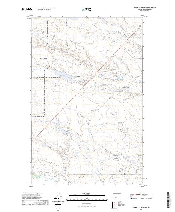
2024 Map of West Alkali Reservoir
USGS Topo · Published 2024About this map
West Alkali Reservoir and its surrounding drainage systems define this section of Phillips County, Montana. The landscape is characterized by an intricate network of coulees and seasonal waterways that drain into larger basins. Notable features include Williams Coulee Reservoir and Partnership Reservoir, which represent the essential water management infrastructure of this arid region. The geography follows a pattern of high-plains relief, with Rudolph Valley and Rudolph Coulee providing distinct landforms in the southern portion of the quadrangle. This 2024 U.S. Geological Survey record indicates a sparse settlement pattern, with geographic naming conventions heavily influenced by the local hydrologic features like North Fork Halfway Coulee and West Alkali Creek.
Find a feature on this map
20 named features on this map. Tap any name to fly to it.
Don’t see what you’re looking for? This feature index may not catch every label — zoom into the map to look around manually.
Map Details
Editions of this 2024 West Alkali Reservoir Map
This is the sole edition of this map. No revisions or reprints were ever made.
Other maps of this area

1953 · Havre
USGS Topo · 1:250,000

1954 · Glasgow
USGS Topo · 1:250,000

1957 · Glasgow
USGS Topo · 1:250,000

1957 · Havre
USGS Topo · 1:250,000

1958 · Glasgow
USGS Topo · 1:250,000

1958 · Havre
USGS Topo · 1:250,000

1964 · Cow Creek
USGS Topo · 1:24,000

1965 · Wagner
USGS Topo · 1:24,000

1965 · West Alkali Reservoir
USGS Topo · 1:24,000

1965 · Phillips
USGS Topo · 1:24,000