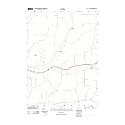
2010 Map of West Almond
USGS Topo · Published 2010About this map
West Almond and Phillips Creek anchor this Allegany County landscape, where small rural settlements are linked by a complex network of named backroads and valley floors. The terrain is defined by significant elevations such as Bald Mountain in the west and Peacock Hill to the south, with the interstate corridor cutting through the drainage basins of Angelica Creek and Black Creek. Genealogists will find the locations of the West Almond Cemetery and Phillips Creek Cemetery particularly useful for identifying family sites in these uplands. Other small locales like Scholes and Bennetts reflect the scattered residential pattern characteristic of the region. The map also traces various watercourses including California Creek, Feathers Creek, and the North Branch Phillips Creek, which gather at Palmers Pond and flow through the high country valleys.
Find a feature on this map
49 named features on this map. Tap any name to fly to it.
Don’t see what you’re looking for? This feature index may not catch every label — zoom into the map to look around manually.
Map Details
Editions of this 2010 West Almond Map
This is the sole edition of this map. No revisions or reprints were ever made.
Other maps of this area

1906 · Angelica
USGS Topo · 1:62,500

1916 · Canaseraga
USGS Topo · 1:62,500

1925 · Belmont
USGS Topo · 1:62,500

1926 · Wellsville
USGS Topo · 1:62,500

1939 · Belmont
USGS Topo · 1:62,500

1940 · Canaseraga
USGS Topo · 1:62,500

1941 · Angelica
USGS Topo · 1:62,500

1950 · Elmira
USGS Topo · 1:250,000

1958 · Elmira
USGS Topo · 1:250,000

1960 · Buffalo
USGS Topo · 1:250,000