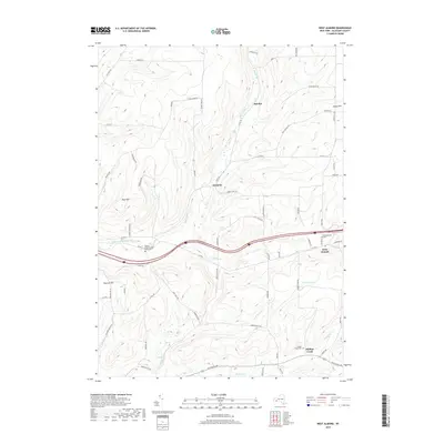
2019 Map of West Almond
USGS Topo · Published 2019About this map
Angelica Creek carves through the central hills of Allegany County, providing a natural corridor for modern travel and historical settlement. The landscape is defined by significant elevations such as Peacock Hill and Bald Mtn, which overlook a network of rural roads and family-named landmarks. The map records several small communities including West Almond, Bennetts, and Scholes, each serving as focal points for the surrounding agricultural and forest land.
Find a feature on this map
68 named features on this map. Tap any name to fly to it.
Don’t see what you’re looking for? This feature index may not catch every label — zoom into the map to look around manually.
Map Details
Editions of this 2019 West Almond Map
This is the sole edition of this map. No revisions or reprints were ever made.
Other maps of this area

1906 · Angelica
USGS Topo · 1:62,500

1916 · Canaseraga
USGS Topo · 1:62,500

1925 · Belmont
USGS Topo · 1:62,500

1926 · Wellsville
USGS Topo · 1:62,500

1939 · Belmont
USGS Topo · 1:62,500

1940 · Canaseraga
USGS Topo · 1:62,500

1941 · Angelica
USGS Topo · 1:62,500

1950 · Elmira
USGS Topo · 1:250,000

1958 · Elmira
USGS Topo · 1:250,000

1960 · Buffalo
USGS Topo · 1:250,000