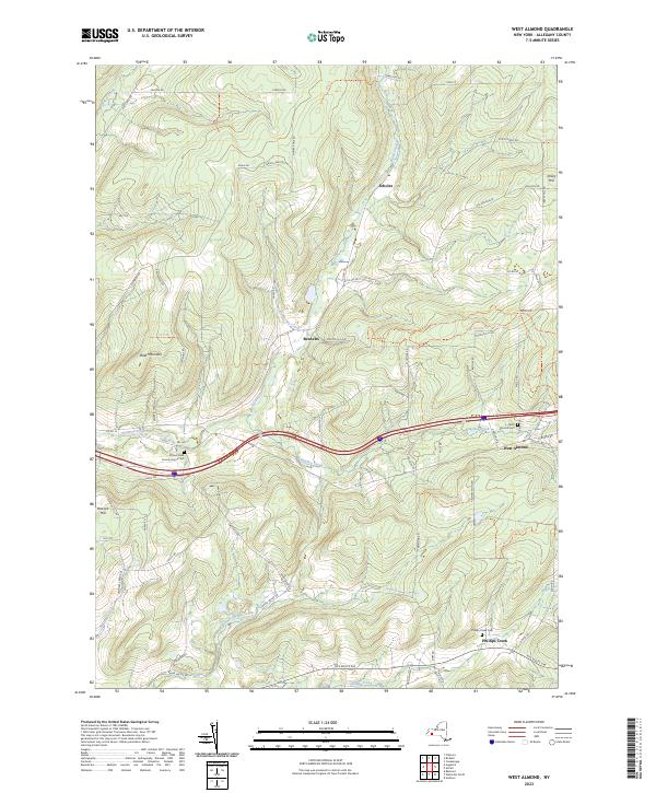
2023 Map of West Almond
USGS Topo · Published 2023About this map
Angelica Creek and its many tributaries, such as California Creek and Black Creek, carve through the high ground of central Allegany County. This modern digital survey documents the rural character of the region, anchored by the settlement of West Almond and the smaller community at Phillips Creek. The topography is defined by significant elevations like Bald Mountain and Peacock Hill, which overlook a network of county roads and forest trails.
Find a feature on this map
71 named features on this map. Tap any name to fly to it.
Don’t see what you’re looking for? This feature index may not catch every label — zoom into the map to look around manually.
Map Details
Editions of this 2023 West Almond Map
This is the sole edition of this map. No revisions or reprints were ever made.
Other maps of this area

1906 · Angelica
USGS Topo · 1:62,500

1916 · Canaseraga
USGS Topo · 1:62,500

1925 · Belmont
USGS Topo · 1:62,500

1926 · Wellsville
USGS Topo · 1:62,500

1939 · Belmont
USGS Topo · 1:62,500

1940 · Canaseraga
USGS Topo · 1:62,500

1941 · Angelica
USGS Topo · 1:62,500

1950 · Elmira
USGS Topo · 1:250,000

1958 · Elmira
USGS Topo · 1:250,000

1960 · Buffalo
USGS Topo · 1:250,000