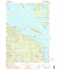
1987 Map of West Alton
USGS Topo · Published 1987About this map
Lake Winnipesaukee dominates this New Hampshire landscape, its expansive waters defining the recreational and residential geography of the late 1980s. The shoreline is punctuated by established vacation sites and small communities like Spring Haven, West Alton, and Sandy Island Camp. The map highlights the complex archipelago of the lake, featuring major landforms such as Rattlesnake Island, Sleepers Island, and the prominent Tuftonboro Neck. To the south, the terrain rises sharply into the Belknap Mountains, where summits like Mt Major and Straightback Mountain overlook the deep waters of Alton Bay. This survey captures the region as it balanced natural conservation in the Belknap Mountain State Forest and Mt Major State Park with the dense seasonal development at Ellacoya State Park and Ames.
Find a feature on this map
45 named features on this map. Tap any name to fly to it.
Don’t see what you’re looking for? This feature index may not catch every label — zoom into the map to look around manually.
Map Details
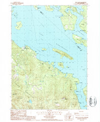
Editions of this 1987 West Alton Map
2 editions found
Other maps of this area

1909 · Winnepesaukee
USGS Topo · 1:62,500

1919 · Gilmanton
USGS Topo · 1:62,500

1919 · Alton
USGS Topo · 1:62,500

1927 · Gilmanton
USGS Topo · 1:62,500

1928 · Wolfeboro
USGS Topo · 1:62,500

1949 · Portland
USGS Topo · 1:250,000

1956 · Winnipesaukee
USGS Topo · 1:62,500

1956 · Portland
USGS Topo · 1:250,000

1957 · Alton
USGS Topo · 1:62,500
1957 · Gilmanton
USGS Topo · 1:62,500