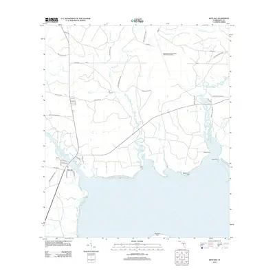
2012 Map of West Bay
USGS Topo · Published 2012About this map
West Bay serves as the focal point of this coastal survey, where the settlement meets the expansive northern reaches of the bay. The landscape is defined by an intricate network of waterways, including the winding course of Crooked Cr and the marshy expanses of Bear Bay. Inland, the northern portion of the map is dominated by the modern footprint of the Northwest Florida Beaches International Airport, showing its integration into a terrain once defined primarily by timber and conservation lands.
Find a feature on this map
42 named features on this map. Tap any name to fly to it.
Don’t see what you’re looking for? This feature index may not catch every label — zoom into the map to look around manually.
Map Details
Editions of this 2012 West Bay Map
This is the sole edition of this map. No revisions or reprints were ever made.
Other maps of this area

1943 · Laguna Beach
USGS Topo · 1:31,680

1943 · Panama City
USGS Topo · 1:31,680

1943 · Panama City Beach
USGS Topo · 1:31,680

1943 · Seminole Hills
USGS Topo · 1:24,000

1943 · West Bay
USGS Topo · 1:24,000

1943 · Southport
USGS Topo · 1:24,000

1944 · Southport
USGS Topo · 1:24,000

1944 · Seminole Hills
USGS Topo · 1:31,680

1944 · West Bay
USGS Topo · 1:31,680

1944 · Crystal Lake
USGS Topo · 1:24,000