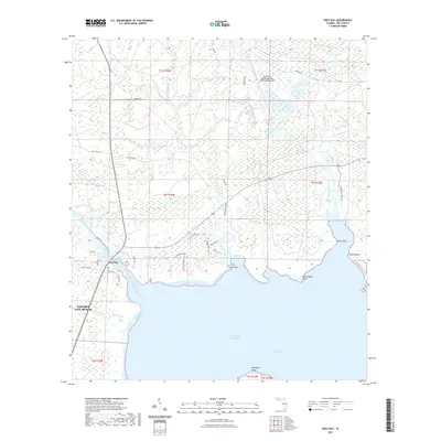
2021 Map of West Bay
USGS Topo · Published 2021About this map
West Bay serves as the focal point of this coastal landscape, where the northern expansion of Panama City Beach meets a complex network of bayous and creeks. The modern infrastructure of the Northwest Florida Beaches International Airport dominates the northeastern corner, contrasting with the preservation-oriented residential developments further south like those along Preservation Dr and Coastal Hammock Trl. The Intracoastal Waterway cuts through the western portion of the bay, facilitating regional maritime traffic.
Find a feature on this map
53 named features on this map. Tap any name to fly to it.
Don’t see what you’re looking for? This feature index may not catch every label — zoom into the map to look around manually.
Map Details
Editions of this 2021 West Bay Map
This is the sole edition of this map. No revisions or reprints were ever made.
Other maps of this area

1943 · Laguna Beach
USGS Topo · 1:31,680

1943 · Panama City
USGS Topo · 1:31,680

1943 · Panama City Beach
USGS Topo · 1:31,680

1943 · Seminole Hills
USGS Topo · 1:24,000

1943 · West Bay
USGS Topo · 1:24,000

1943 · Southport
USGS Topo · 1:24,000

1944 · Southport
USGS Topo · 1:24,000

1944 · Seminole Hills
USGS Topo · 1:31,680

1944 · West Bay
USGS Topo · 1:31,680

1944 · Crystal Lake
USGS Topo · 1:24,000