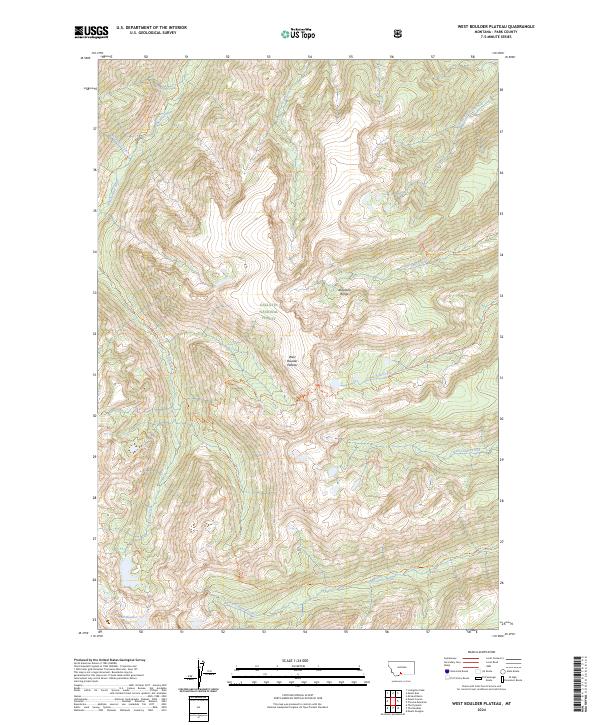
2024 Map of West Boulder Plateau
USGS Topo · Published 2024About this map
West Boulder Plateau dominates this high-elevation landscape within the Gallatin National Forest. The area is characterized by a complex network of drainage basins and high ridgelines in the Absaroka Range, where the West Boulder River and its tributaries, such as Fourmile Creek and Lost Creek, carve through the terrain. This environment remains largely undeveloped, preserved within the Absaroka-Beartooth Wilderness.
Find a feature on this map
22 named features on this map. Tap any name to fly to it.
Don’t see what you’re looking for? This feature index may not catch every label — zoom into the map to look around manually.
Map Details
Editions of this 2024 West Boulder Plateau Map
This is the sole edition of this map. No revisions or reprints were ever made.
Other maps of this area

1891 · Livingston
USGS Topo · 1:250,000

1893 · Livingston
USGS Topo · 1:250,000

1940 · Mt. Cowen
USGS Topo · 1:62,500

1941 · Mt Douglas
USGS Topo · 1:62,500

1943 · Mt Douglas
USGS Topo · 1:62,500

1943 · Mt Cowen
USGS Topo · 1:62,500

1947 · Bozeman
USGS Topo · 1:250,000

1948 · Bozeman
USGS Topo · 1:250,000

1951 · Mount Rae
USGS Topo · 1:24,000

1951 · Livingston Peak
USGS Topo · 1:24,000