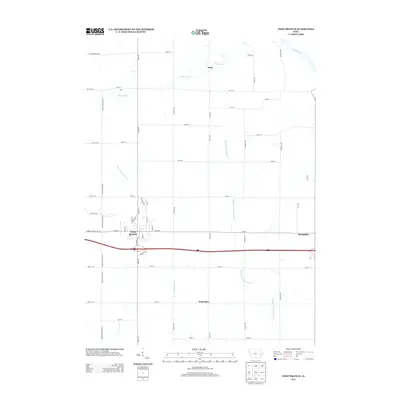
2013 Map of West Branch
USGS Topo · Published 2013About this map
West Branch serves as the primary hub of this landscape, situated at the confluence of local history and modern transit. The terrain is defined by the branching waterways of the Wapsinonoc valley, including the W Br Wapsinonoc Cr and Middle Br Wapsinonoc Cr, which carve through the agricultural grid. To the north, the small settlements of Plato and Zoar sit along Nicholson Cr, while the eastern portion of the survey is anchored by Springdale. The presence of Hoover Cr near the town center provides a geographic connection to the area's most famous resident, even as the landscape transitions into the broader drainage basin of the Cedar River in the northeast. This 2013 survey illustrates the enduring rural structure of Cedar County, where established town plots like Centerdale remain integrated into a network of section-line roads.
Find a feature on this map
56 named features on this map. Tap any name to fly to it.
Don’t see what you’re looking for? This feature index may not catch every label — zoom into the map to look around manually.
Map Details
Editions of this 2013 West Branch Map
This is the sole edition of this map. No revisions or reprints were ever made.
Other maps of this area

1889 · Tipton
USGS Topo · 1:62,500

1890 · Tipton
USGS Topo · 1:62,500

1891 · Mechanicsville
USGS Topo · 1:62,500

1891 · Wilton Junction
USGS Topo · 1:62,500

1894 · Mechanicsville
USGS Topo · 1:62,500

1894 · West Liberty
USGS Topo · 1:62,500

1901 · Stanwood
USGS Topo · 1:125,000

1958 · Davenport
USGS Topo · 1:250,000

1961 · Davenport
USGS Topo · 1:250,000

1962 · Davenport
USGS Topo · 1:250,000