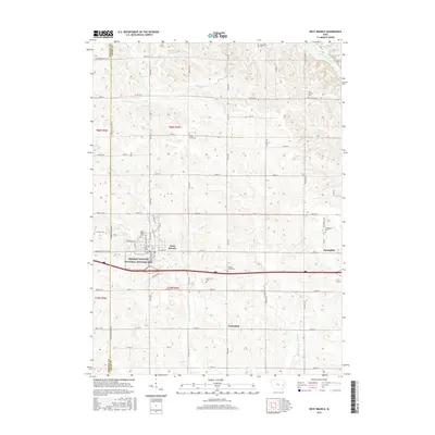
2015 Map of West Branch
USGS Topo · Published 2015About this map
The Herbert Hoover National Historic Site anchors the town of West Branch, marking the birthplace of the 31st U.S. President. This landscape, situated along the border of Johnson and Cedar Counties, is defined by its agricultural grid and the various branches of the Wapsinonoc Creek system, including the W Br Wapsinonoc Cr and Middle Br Wapsinonoc Cr. The map reveals a dense network of local heritage sites, particularly the numerous rural burial grounds such as Old Friends Cem and Honey Grove Cem that suggest a long history of Quaker and pioneer settlement in the area.
Find a feature on this map
63 named features on this map. Tap any name to fly to it.
Don’t see what you’re looking for? This feature index may not catch every label — zoom into the map to look around manually.
Map Details
Editions of this 2015 West Branch Map
This is the sole edition of this map. No revisions or reprints were ever made.
Other maps of this area

1889 · Tipton
USGS Topo · 1:62,500

1890 · Tipton
USGS Topo · 1:62,500

1891 · Mechanicsville
USGS Topo · 1:62,500

1891 · Wilton Junction
USGS Topo · 1:62,500

1894 · Mechanicsville
USGS Topo · 1:62,500

1894 · West Liberty
USGS Topo · 1:62,500

1901 · Stanwood
USGS Topo · 1:125,000

1958 · Davenport
USGS Topo · 1:250,000

1961 · Davenport
USGS Topo · 1:250,000

1962 · Davenport
USGS Topo · 1:250,000