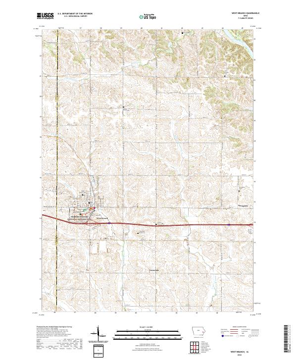
2022 Map of West Branch
USGS Topo · Published 2022About this map
West Branch serves as a primary point of interest in this Eastern Iowa landscape, particularly due to its preservation of presidential heritage. The Herbert Hoover National Historic Site encompasses significant local history, including the Gravesite of President and Mrs Hoover and the Old Friends Cem. This Quaker-influenced settlement pattern is further evidenced by several scattered burial sites across the township, such as the Chamness Burial Plot and Honey Grove Cem.
Find a feature on this map
49 named features on this map. Tap any name to fly to it.
Don’t see what you’re looking for? This feature index may not catch every label — zoom into the map to look around manually.
Map Details
Editions of this 2022 West Branch Map
This is the sole edition of this map. No revisions or reprints were ever made.
Other maps of this area

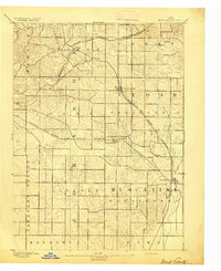
1889 · Tipton
USGS Topo · 1:62,500

1890 · Tipton
USGS Topo · 1:62,500

1891 · Mechanicsville
USGS Topo · 1:62,500

1891 · Wilton Junction
USGS Topo · 1:62,500

1894 · Mechanicsville
USGS Topo · 1:62,500
1894 · West Liberty
USGS Topo · 1:62,500

1901 · Stanwood
USGS Topo · 1:125,000

1958 · Davenport
USGS Topo · 1:250,000

1961 · Davenport
USGS Topo · 1:250,000

1962 · Davenport
USGS Topo · 1:250,000