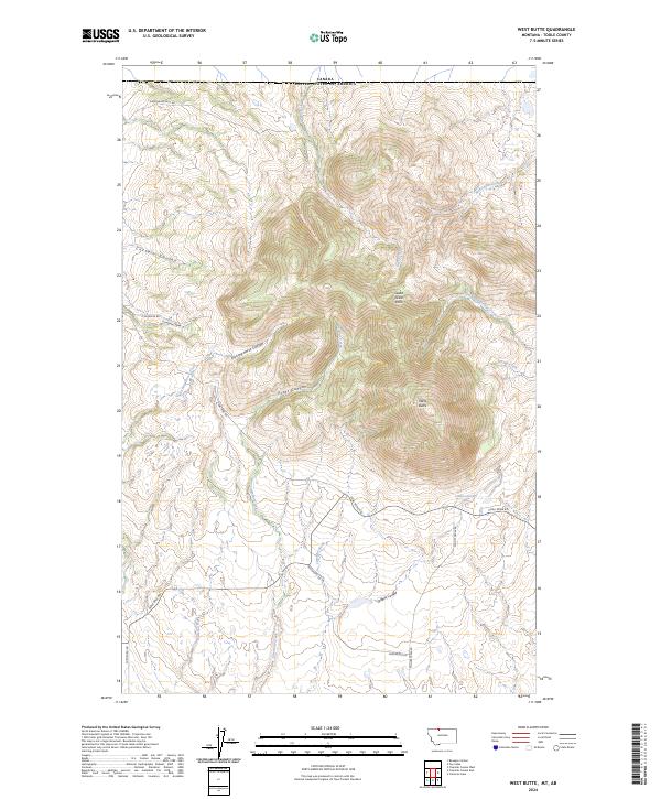
2024 Map of West Butte
USGS Topo · Published 2024About this map
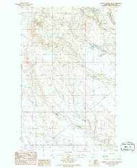
The Sweet Grass Hills rise sharply from the northern Montana plains near the Canadian border, dominated here by the prominent peak of West Butte. This high-elevation terrain is cut by deep drainages and named passages, including the significant Kicking Horse Canyon and Pratt Canyon. The landscape suggests a history of resource extraction and rural access, indicated by the presence of Coal Mine Rd and a network of arterial routes like Berthelote RD and Willow Creek RD that skirt the base of the hills. Numerous coulees, such as Certain Coulee and Greens Coulee, channel seasonal runoff from the heights toward the surrounding prairie, defining a rugged geography of ridges and draws within the t37n r1e and t36n r1e survey townships.
Find a feature on this map
27 named features on this map. Tap any name to fly to it.
Don’t see what you’re looking for? This feature index may not catch every label — zoom into the map to look around manually.
Map Details
Editions of this 2024 West Butte Map
This is the sole edition of this map. No revisions or reprints were ever made.
Other maps of this area

1945 · West Butte
USGS Topo · 1:62,500

1954 · Shelby
USGS Topo · 1:250,000

1958 · Shelby
USGS Topo · 1:250,000

1962 · Cameron Lake
USGS Topo · 1:24,000

1962 · Fey Lakes
USGS Topo · 1:24,000

1984 · Sweet Grass Hills
USGS Topo · 1:100,000
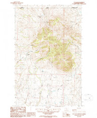
1986 · West Butte
USGS Topo · 1:24,000
1986 · Beaupre Coulee
USGS Topo · 1:24,000
1986 · Fivemile Coulee East
USGS Topo · 1:24,000
1986 · Fivemile Coulee West
USGS Topo · 1:24,000