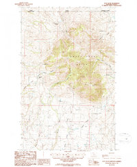
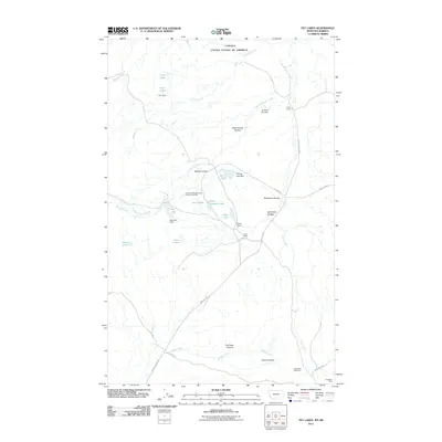
1986 Map of West Butte
USGS Topo · Published 1986About this map
The Sweet Grass Hills dominate this international border landscape, where the high peaks of West Butte rise above the surrounding prairie. This 1980s-era study captures the agricultural and natural transition at the boundary between the Canada United States border and the Alberta Montana line. The terrain is marked by deep cuts such as Kicking Horse Canyon and Pratt Canyon, which channel seasonal water from the heights down toward the plains.
Find a feature on this map
23 named features on this map. Tap any name to fly to it.
Don’t see what you’re looking for? This feature index may not catch every label — zoom into the map to look around manually.
Map Details
Editions of this 1986 West Butte Map
This is the sole edition of this map. No revisions or reprints were ever made.
Other maps of this area

1945 · West Butte
USGS Topo · 1:62,500

1954 · Shelby
USGS Topo · 1:250,000

1958 · Shelby
USGS Topo · 1:250,000

1962 · Cameron Lake
USGS Topo · 1:24,000

1962 · Fey Lakes
USGS Topo · 1:24,000

1984 · Sweet Grass Hills
USGS Topo · 1:100,000
1986 · Beaupre Coulee
USGS Topo · 1:24,000
1986 · Fivemile Coulee East
USGS Topo · 1:24,000
1986 · Fivemile Coulee West
USGS Topo · 1:24,000
2011 · Fey Lakes
USGS Topo · 1:24,000