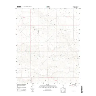
2013 Map of West Camp
USGS Topo · Published 2013About this map
Weston Ranch and the small settlement at West Camp define this high-desert ranching landscape in De Baca County. The terrain is dominated by the broad uplift of Conejo Mesa, which slopes toward the intermittent drainages of Yeso Cr and Guana Draw. This 2013 survey illustrates the sparse, large-acreage development of the Pecos Valley region, where water sources like the Lower End Windmill remain critical landmarks for navigation and land use. Primitive routes such as Renegade Rd and Bigote Rd provide the primary access through the township and range grid, following the natural contours of the mesas and draws. To the south, Little Conejo Cr cuts through the mesa edge, indicating the erosion patterns typical of the New Mexico plains.
Find a feature on this map
15 named features on this map. Tap any name to fly to it.
Don’t see what you’re looking for? This feature index may not catch every label — zoom into the map to look around manually.
Map Details
Editions of this 2013 West Camp Map
This is the sole edition of this map. No revisions or reprints were ever made.
Other maps of this area

1954 · Fort Sumner
USGS Topo · 1:250,000

1958 · Fort Sumner
USGS Topo · 1:250,000

1965 · Fort Sumner West
USGS Topo · 1:24,000

1966 · West Camp
USGS Topo · 1:24,000

1966 · Alamo Ranch
USGS Topo · 1:24,000

1966 · Ricardo
USGS Topo · 1:24,000

1966 · Horney Ranch
USGS Topo · 1:24,000

1966 · Yeso
USGS Topo · 1:24,000

1967 · Dunlap NE
USGS Topo · 1:24,000

1967 · Conejo Creek West
USGS Topo · 1:24,000