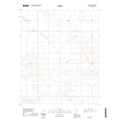
2023 Map of West Camp
USGS Topo · Published 2023About this map
Conejo Mesa rises above the drainage systems of De Baca County, defining the central topography of this high plains landscape. The area is marked by the seasonal flow of Yeso Creek, which winds eastward across the center of the map, and Little Conejo Creek at the southern boundary. These watercourses and their associated basins, including the rugged incision of Guana Draw, reflect a ranching environment where movement is dictated by the natural contours of the land.
Find a feature on this map
13 named features on this map. Tap any name to fly to it.
Don’t see what you’re looking for? This feature index may not catch every label — zoom into the map to look around manually.
Map Details
Editions of this 2023 West Camp Map
This is the sole edition of this map. No revisions or reprints were ever made.
Other maps of this area

1954 · Fort Sumner
USGS Topo · 1:250,000

1958 · Fort Sumner
USGS Topo · 1:250,000

1965 · Fort Sumner West
USGS Topo · 1:24,000

1966 · West Camp
USGS Topo · 1:24,000

1966 · Alamo Ranch
USGS Topo · 1:24,000

1966 · Ricardo
USGS Topo · 1:24,000

1966 · Horney Ranch
USGS Topo · 1:24,000

1966 · Yeso
USGS Topo · 1:24,000

1967 · Dunlap NE
USGS Topo · 1:24,000

1967 · Conejo Creek West
USGS Topo · 1:24,000