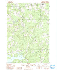
1982 Map of West Corinth
USGS Topo · Published 1991About this map
Kenduskeag Stream and Black Stream carve through this rural Penobscot County landscape, defining the boundaries of Exeter, Corinth, Stetson, and Levant. The map shows a settlement pattern of crossroads and family-named landmarks that remained relatively unchanged into the early 1980s. Local infrastructure is anchored by institutions like Central High Sch and Morrison Sch in East Corinth, while the rural outskirts are dotted with historic burial grounds such as Osgood Cem, No Exeter Cem, and Tibbetts Cem.
Find a feature on this map
54 named features on this map. Tap any name to fly to it.
Don’t see what you’re looking for? This feature index may not catch every label — zoom into the map to look around manually.
Map Details
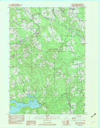
Editions of this 1982 West Corinth Map
2 editions found
Other maps of this area

1902 · Bangor
USGS Topo · 1:62,500

1931 · Stetson
USGS Topo · 1:48,000

1932 · Dover-Foxcroft
USGS Topo · 1:48,000

1933 · Boyd Lake
USGS Topo · 1:62,500

1935 · Dover-Foxcroft
USGS Topo · 1:62,500

1935 · Stetson
USGS Topo · 1:62,500

1942 · Bangor
USGS Topo · 1:62,500

1946 · Bangor
USGS Topo · 1:62,500

1948 · Bangor
USGS Topo · 1:250,000

1951 · Boyd Lake
USGS Topo · 1:50,000