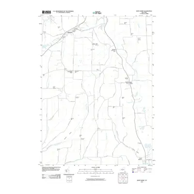
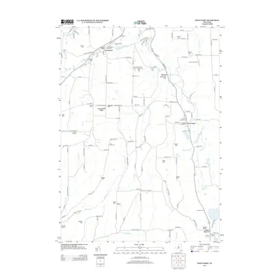
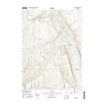
2023 Map of West Danby
USGS Topo · Published 2023About this map
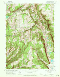
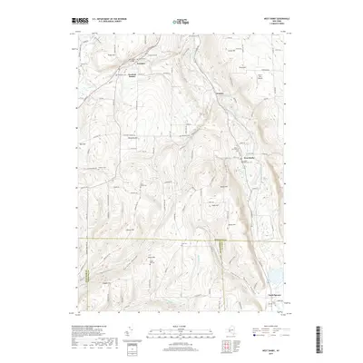
Newfield and West Danby anchor this landscape where the deep glacial valleys of the Finger Lakes region transition into the rugged highlands of the Southern Tier. The terrain is defined by a series of prominent elevations including Protts Hill, Jersey Hill, and Beech Hill, which rise sharply above the Cayuga Inlet valley. This 2023 survey documents a network of rural cemeteries that trace the area’s ancestral settlements, from the Woodlawn Cem near Newfield to the Hine Family Cem and the North Spencer Cem further south.
Find a feature on this map
132 named features on this map. Tap any name to fly to it.
Don’t see what you’re looking for? This feature index may not catch every label — zoom into the map to look around manually.
Map Details
Editions of this 2023 West Danby Map
This is the sole edition of this map. No revisions or reprints were ever made.
Historical Maps of Newfield Through Time
7 maps found