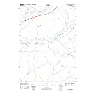
2010 Map of West Davenport
USGS Topo · Published 2010About this map
Charlotte Valley serves as a primary corridor through this landscape, where the Charlotte Creek flows past settlements like West Davenport and Davenport Center. This 2010 topographic record illustrates a rural New York environment defined by high ridges and deep hollows, such as Prosser Hollow and Houghtaling Hollow. The terrain is marked by significant elevations including South Hill and Webb Hill, which constrain the local road network and settlement patterns.
Find a feature on this map
60 named features on this map. Tap any name to fly to it.
Don’t see what you’re looking for? This feature index may not catch every label — zoom into the map to look around manually.
Map Details
Editions of this 2010 West Davenport Map
This is the sole edition of this map. No revisions or reprints were ever made.
Other maps of this area

1907 · Cooperstown
USGS Topo · 1:62,500

1909 · Cooperstown
USGS Topo · 1:62,500

1909 · Delhi
USGS Topo · 1:62,500

1910 · Hartwick
USGS Topo · 1:62,500

1911 · Delhi
USGS Topo · 1:62,500

1912 · Hartwick
USGS Topo · 1:62,500

1915 · Oneonta
USGS Topo · 1:62,500

1918 · Oneonta
USGS Topo · 1:62,500

1943 · Delhi
USGS Topo · 1:24,000

1943 · Mt Vision
USGS Topo · 1:24,000