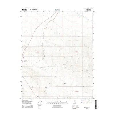
2015 Map of West Elk Hills
USGS Topo · Published 2015About this map
McKittrick sits at the western edge of this 2015 survey, serving as a gateway to the arid landscapes of Kern County. The terrain is dominated by the complex topography of the Elk Hills, where the modern industrial footprint of energy extraction and water management is clearly visible. The most prominent engineered feature is the Governor Edmund G Brown California Aqueduct, which cuts across the northern reaches of the quadrangle. This vital artery of the state's water infrastructure illustrates the massive scale of 21st-century environmental engineering required to sustain the region's agricultural and municipal needs. Beyond the settlements and infrastructure, the map reveals a dense network of local roads and trails winding through the valleys and ridges, reflecting the ongoing commercial activity and resource management that characterizes this part of the San Joaquin Valley.
Find a feature on this map
2 named features on this map. Tap any name to fly to it.
Don’t see what you’re looking for? This feature index may not catch every label — zoom into the map to look around manually.
Map Details
Editions of this 2015 West Elk Hills Map
This is the sole edition of this map. No revisions or reprints were ever made.
Other maps of this area

1910 · Buena Vista Lake
USGS Topo · 1:125,000

1912 · McKittrick
USGS Topo · 1:125,000

1912 · Buena Vista Lake
USGS Topo · 1:125,000

1931 · Lokern
USGS Topo · 1:31,680

1932 · West Elk Hills
USGS Topo · 1:31,680

1932 · East Elk Hills
USGS Topo · 1:31,680
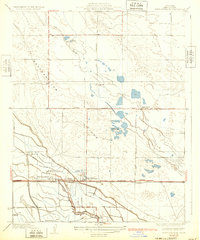
1932 · Buttonwillow
USGS Topo · 1:31,680

1934 · Lokern
USGS Topo · 1:31,680
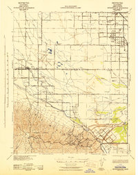
1942 · Buttonwillow
USGS Topo · 1:62,500
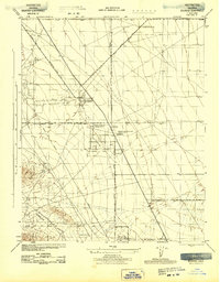
1943 · Belridge
USGS Topo · 1:31,680