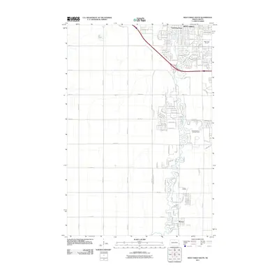
2011 Map of West Fargo South
USGS Topo · Published 2011About this map
Horace and the southern reaches of West Fargo define this prairie landscape in the Red River Valley. The map captures a period of significant suburban expansion, where traditional section-line roads like 45th St SE and 52nd Ave S meet modern residential developments. The area's complex water management is clearly visible through the Sheyenne Diversion and the Sheyenne River Diversion Dam, essential infrastructure for the flood-prone plains of Cass County.
Find a feature on this map
43 named features on this map. Tap any name to fly to it.
Don’t see what you’re looking for? This feature index may not catch every label — zoom into the map to look around manually.
Map Details
Editions of this 2011 West Fargo South Map
This is the sole edition of this map. No revisions or reprints were ever made.
Other maps of this area

1895 · Fargo
USGS Topo · 1:125,000

1895 · Casselton
USGS Topo · 1:125,000

1897 · Fargo
USGS Topo · 1:125,000

1897 · Casselton
USGS Topo · 1:125,000

1953 · Fargo
USGS Topo · 1:250,000

1956 · Fargo
USGS Topo · 1:250,000

1959 · Kindred
USGS Topo · 1:24,000

1959 · Fargo North
USGS Topo · 1:24,000

1959 · South West Fargo
USGS Topo · 1:24,000

1959 · Fargo South
USGS Topo · 1:24,000